What is recorded here
Lacknagreagh holds a faded ringfort where a stone-and-earth bank once enclosed a broad platform. The west edge has been sharpened into a modern boundary, but the southeast still hints at a narrow entrance. People may have lived there before the land was divided, yet only a shallow scar and a flattened circle remain to mark their presence.
The following description is derived from both the published 'Archaeological Inventory of County Louth' (Dublin: Stationery Office, 1986) and the 'Archaeological Survey of County Louth' (Dublin: Stationery Office, 1991). In certain instances the entries have been revised and updated in the light of recent research.
Date of upload/revision: 17 July 2007
Located on top of a gentle natural rise. Sub-circular raised platform (int. dims. 29.5m NE-SW, 26.5m N-S, H 0.8m-2m) enclosed at top by traces of much-degraded earth and stone bank, now completely reduced to a scarp. At W this scarp has been steepened to form part of a modern boundary. Probable ancient entrance gap (Wth 2m) at SE.
The monument record does not grant public access. Check the route and ask the landowner before entering private land.
- What survives
- Recorded monument
Places near here
 Hut site in CarrickrobinHut site · 816 yd
 Church in KillaconnerChurch · 1156 yd
 Mass-rock in CarrickrobinMass-rock · 1225 yd
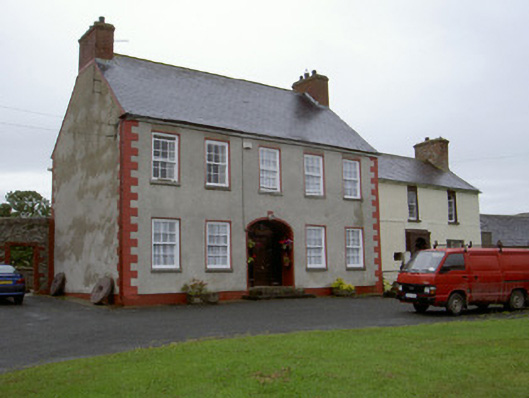 Clonaleenaghan Househouse · 1.1 mi
 CastleCastle, unclassified · 1.2 mi
 Mount AshCastle, motte · 2.0 mi
 Sky HillMountain / peak · 3.6 mi
 Ballsmill Amenity LandPicnic place · 3.8 mi
 BallybarrackMountain / peak · 4.6 mi
 Dundalk CentralHeritage attraction · 4.8 mi
 Photo GalleryHeritage attraction · 4.8 mi
 Forkhill Greenspace PathwayWalking route · 5.6 mi