What is recorded here
No clear entrance exists, and the earthen bank has no visible gap. That is not an oversight. It is a invitation to stop expecting the world to fit human rules. The fort is thirty-two metres across, set on the south slope of Letter South, looking down Kenmare Bay. It has no door because it does not need one. It has a memory, and memory does not knock.
Internal diam. 32m N-S, 31m E-W
This poorly preserved univallate rath is located in rough pasture on the lower S slopes of Letter South mountain, overlooking Kenmare Bay to S. Dense vegetation and trees prevented a detailed examination of the site. The earthen enclosing bank is 1m high both internally and externally, and its flat crest measures 2m wide. There is no clear evidence for an entrance. An opening to a stone-built Man-made underground passage (KE092-025001-) is reputed to be located in the bank at E, but this is now closed up (local information). A number of large boulders are incorporated in the bank at this point.
The above description is derived from A. O'Sullivan and J. Sheehan (compilers), 'The Iveragh peninsula: an archaeological survey of South Kerry'. Cork University Press (1996), no. 529. In certain instances the entries have been revised and updated in the light of recent research.
Date of upload: 29 July 2013
The monument record does not grant public access. Check the route and ask the landowner before entering private land.
- What survives
- Recorded monument
Places near here
 Indicated (1846).Fairy fort / earthen ringfort · 961 yd
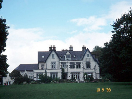 Dromquinna Manorcountry house · 964 yd
 Templenoe Church (Site of)Church · 1725 yd
 Dunkerron Island WestIslet · 1.1 mi
 Dunkerron Island EastIslet · 1.2 mi
 Dunkerron CastleCastle · 1.4 mi
 Coss StrandBeach / strand · 1.4 mi
 Court (in Ruins)House, 16th/17th century · 1.4 mi
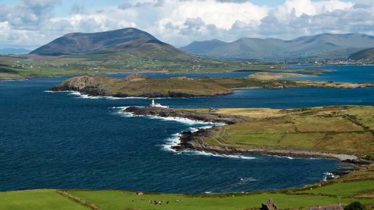 Letter SouthMountain / peak · 1.8 mi
 Cappanacush Castle (ruins)Castle · 1.9 mi
 Mucksna Nature ReserveNature reserve · 2.8 mi
 Kenmare Stone CircleHeritage attraction · 2.8 mi