What is recorded here
Lacka More holds a solid earth ring thirty-five metres across, broken only by a narrow eastern gap. People may have lived inside the raised circle or fled storms there, yet local tradition still calls it a fairy fort. The boundary between human memory and fantasy collapses when the earth itself stops answering questions.
Internal diameter 35.4m N-S, 34.6m E-W
This univallate ringfort consists of a circular area enclosed by a well-defined bank of earth and stone and an external fosse. The enclosing bank, on average 7m wide at the base, rises to a maximum of 2m above the interior and 2.6m above the external fosse. The U-shaped fosse encloses the whole site, except for the E to SE; the remainder is on average 1.7m wide and 1.1m deep. A 3m wide gap to the E provides access to the interior, which is at a higher level than the surrounding land.
The above description is derived from C. Toal, ‘North Kerry Archaeological Survey’. Dingle. Brandon in association with FAS Training and Employment Authority (1995), no. 763. In certain instances the entries have been revised and updated in the light of recent research.
Date of upload: 2 August 2013
The monument record does not grant public access. Check the route and ask the landowner before entering private land.
- What survives
- Recorded monument
Places near here
 Enclosure in Lacka MoreEnclosure · 783 yd
 Enclosure in AulaneduffEnclosure · 1.1 mi
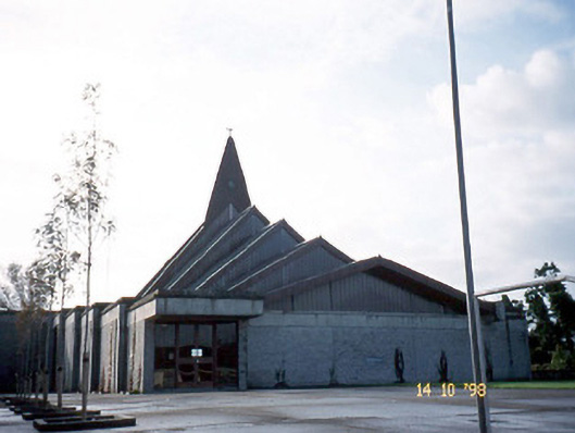 Saint Bernard's Catholic Churchchurch/chapel · 1.2 mi
 Abbeydorney Monastery (in ruins)Religious house, Cistercian monks · 1.5 mi
 Kilflynn Nature ReserveNature reserve · 1.8 mi
 CruslineMountain / peak · 2.6 mi
 Tobar na MoltSpring · 3.0 mi
 Stack's MountainMountain / peak · 3.6 mi
 Ballymacaquinn Castle (remains of)Castle · 3.6 mi
 Ardfert Franciscan FriaryVisitor information · 4.7 mi
 Ardfert FriaryVisitor information · 4.7 mi
 Site of CastleCastle, unclassified · 4.8 mi