What is recorded here
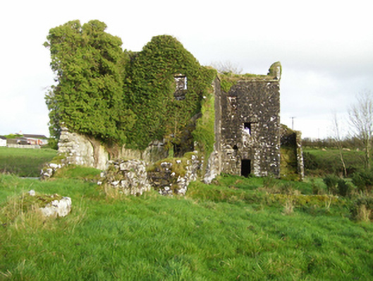
Lack holds a subcircular ringfort thirty-eight metres wide on a rise above the River Clare. Two banks and a central ditch enclose the site, while the inner bank wears a stone face. A field bank now buries part of the outer edge, and an underground passage lies within the interior. The fort is not a vague fairy tale or an abandoned shape; it is a built place where human hands arranged stone, earth and entrance on open Galway land.
On a rise in otherwise level grassland. The River Clare flows to S. Subcircular ringfort (NW-SE 38m), in fair condition, defined by two banks and an intervening fosse. The inner bank is faced with stone. A field bank overlies the fosse and outer bank from NNW through N to SE. There is a Man-made underground passage (GA016-090001-) within the interior.
The above description is derived from the published 'Archaeological Inventory of County Galway Vol. II - North Galway'. Compiled by Olive Alcock, Kathy de hÓra and Paul Gosling (Dublin: Stationery Office, 1999).
Date of upload: 05 August 2010
The monument record does not grant public access. Check the route and ask the landowner before entering private land.
- What survives
- Recorded monument
Places near here
 mill (water)mill (water) · 343 yd
 Milltown Bridgebridge · 750 yd
 Enclosure in Milltown (dunmore By.)Enclosure · 870 yd
 Enclosure in Dawros LowerEnclosure · 1486 yd
 Bawn in Kilcloony (dunmore By.)Bawn · 2.1 mi
 Fartamore Castle (ruins)Castle · 3.1 mi
 European ashEuropean ash · 5.4 mi
 Oak WoodForest · 5.8 mi
 Mass RockNamed rock · 6.6 mi
 Ross Errilly FriaryHeritage attraction · 14 mi
 Inis Mhic an TrírIsland · 17 mi
 Otter IslandIslet · 17 mi