What is recorded here
Located towards the bottom of a N-facing slope in the valley of the N-S River Slaney with the river c. 200m to the W and a small E-W stream c. 200m to the N. The cropmark of a circular enclosure (diam. c. 25m) defined by a single fosse feature with an entrance gap at N is visible on aerial photographs (MM (51) 21, 22).
Compiled by: Michael Moore
Date of upload: 31 August, 2012
Amended: 21 February, 2014
The monument record does not grant public access. Check the route and ask the landowner before entering private land.
- What survives
- Recorded monument
Places near here
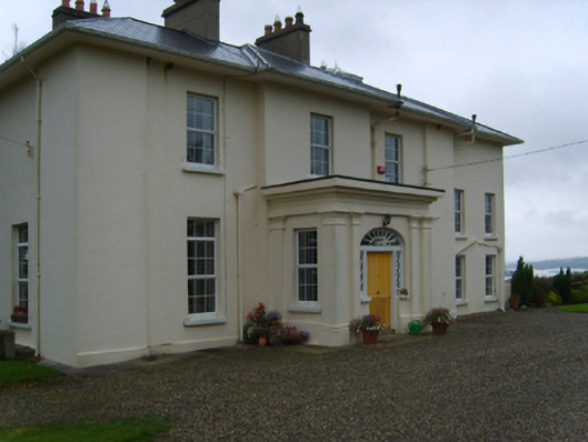 Lonsdalecountry house · 408 yd
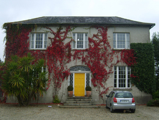 Moat Parkfarm house · 1122 yd
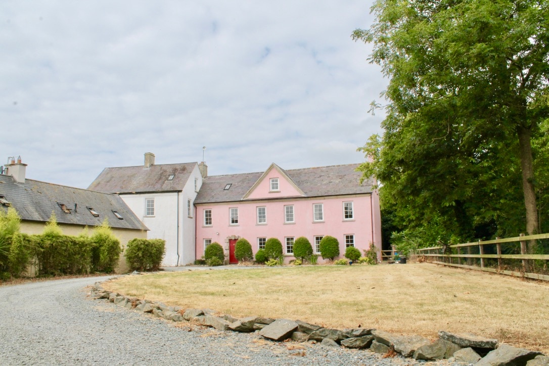 CastleCastle, tower house · 1508 yd
 Embanked enclosurePromontory fort, inland · 1715 yd
 (site of) St. Davids ChurchChurch · 1.1 mi
 Site of CastleCastle, unclassified · 1.6 mi
 Celebrating 125 YearsMemorial · 2.0 mi
 Peace GardenMemorial · 4.0 mi
 Rectory Hall ForestWood · 4.2 mi
 Ballywish SouthForest · 4.3 mi
 Battle Of The Three RocksMemorial · 4.6 mi
 Raheennahoon HillMountain / peak · 5.0 mi