What is recorded here
Magic forts are everywhere in this country but this is one of the rarer genuine ones. A circular earthwork stood in Knoppoge, marked on old maps with a cave inside, yet ploughing and fieldwork have erased nearly all of it. Only a short length of bank remains because someone once built a field boundary through it. The fairies kept what they wanted and gave back a thin ridge of soil, enough to prove the fort existed and to tempt people into believing more than the land still shows.
This site is marked on the 1841-42 and 1915-16 OS maps as a circular enclosure. On the earlier edition 'cave' (KE009-016001-) is marked in the interior, though this does not appear on the later edition. Today this site has been completely levelled except for a small section of the enclosing bank to the NW, which survives due to the fact that it was incorporated into the fieldbank.
The above description is derived from C. Toal, ‘North Kerry Archaeological Survey’. Dingle. Brandon in association with FAS Training and Employment Authority (1995), no. 356. In certain instances the entries have been revised and updated in the light of recent research.
Date of upload: 2 August 2013
A fairy fort or earthen ringfort in Knoppoge, marked as a circular enclosure on early Ordnance Survey maps, likely dates to the early medieval period and may have been associated with local folklore relating to fairies or supernatural beings. The mention of a 'cave' within its interior on the 1841-42 map suggests possible later additions or misinterpretations of features.
The monument record does not grant public access. Check the route and ask the landowner before entering private land.
- What survives
- Recorded monument
Places near here
 RoadRoad, road/trackway · 671 yd
 Holy well in Knoppoge NorthHoly well · 946 yd
 Enclosure in Cloghane (clanmaurice By.)Enclosure · 1203 yd
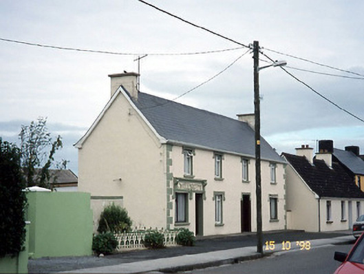 I. McEllistrimhouse · 1.2 mi
 Crazy GolfHeritage attraction · 1.8 mi
 Long StrandBeach / strand · 1.8 mi
 Clashmealcon CavesCave · 2.2 mi
 PulleenIslet · 2.8 mi
 Men's BeachBeach / strand · 2.8 mi
 Ballybunion Cliff PathWalking route · 3.0 mi
 Dookeenee CastleCastle · 3.2 mi
 Pierce's IslandIslet · 3.8 mi