
What is recorded here
In an area of poorly drained pasture. Depicted on the OS 25-inch (1892) map as a roughly circular area (diam. c 19m NW-SE) defined by a curved bank NW-SW with the remains of an outer curved bank depicted SSE-SW and E-NNE possibly suggesting a fosse (Wth c. 6.5m). When visited in 2000, the possible enclosure had been levelled and no visible surface trace was evident apart from a very slight depression (diam. c. 15m).
Compiled by: Matt Kelleher
Date of upload: 20 November 2013
The monument record does not grant public access. Check the route and ask the landowner before entering private land.
- What survives
- Recorded monument
Places near here
 Man-made underground passage in Cloghane (clanmaurice By.)Man-made underground passage · 899 yd
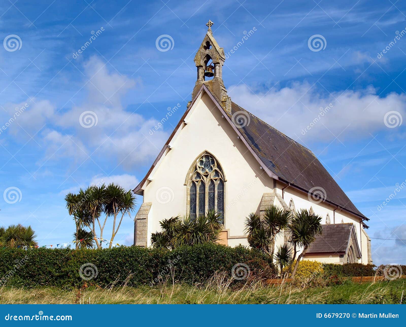 Church in Kilmore (clanmaurice By.)Church · 1135 yd
 Seven ChurchesArchaeological place · 1163 yd
 RoadRoad, road/trackway · 1.1 mi
 Clashmealcon CavesCave · 1.6 mi
 Long StrandBeach / strand · 1.9 mi
 Crazy GolfHeritage attraction · 2.2 mi
 PulleenIslet · 2.8 mi
 Men's BeachBeach / strand · 2.9 mi
 Pierce's IslandIslet · 3.1 mi
 Ballybunion Cliff PathWalking route · 3.2 mi
 Dookeenee CastleCastle · 3.3 mi
Other information
Photo: Credit not shown in the picture search · Rights wording not checked; contact us if this picture should be removed