
What is recorded here
Univallate cahir KE009-014---- is situated in a corner of a field and is enclosed by fieldbanks to the W and S. Ballybunnion can be clearly seen to the N. The enclosing stone bank, which is now covered by grass, encloses a circular area.
'Cave' (KE009-014002-) is marked on the 1841-42 OS map, though it does not appear on the later edition, but the surviving stones may represent where there was once a souteriain.
The above description is derived from C. Toal, ‘North Kerry Archaeological Survey’. Dingle. Brandon in association with FAS Training and Employment Authority (1995), no. 804. In certain instances the entries have been revised and updated in the light of recent research.
Date of upload: 3 August 2013
The monument record does not grant public access. Check the route and ask the landowner before entering private land.
- What survives
- Recorded monument
Places near here
 Enclosure in Cloghane (clanmaurice By.)Enclosure · 807 yd
 Seven ChurchesArchaeological place · 969 yd
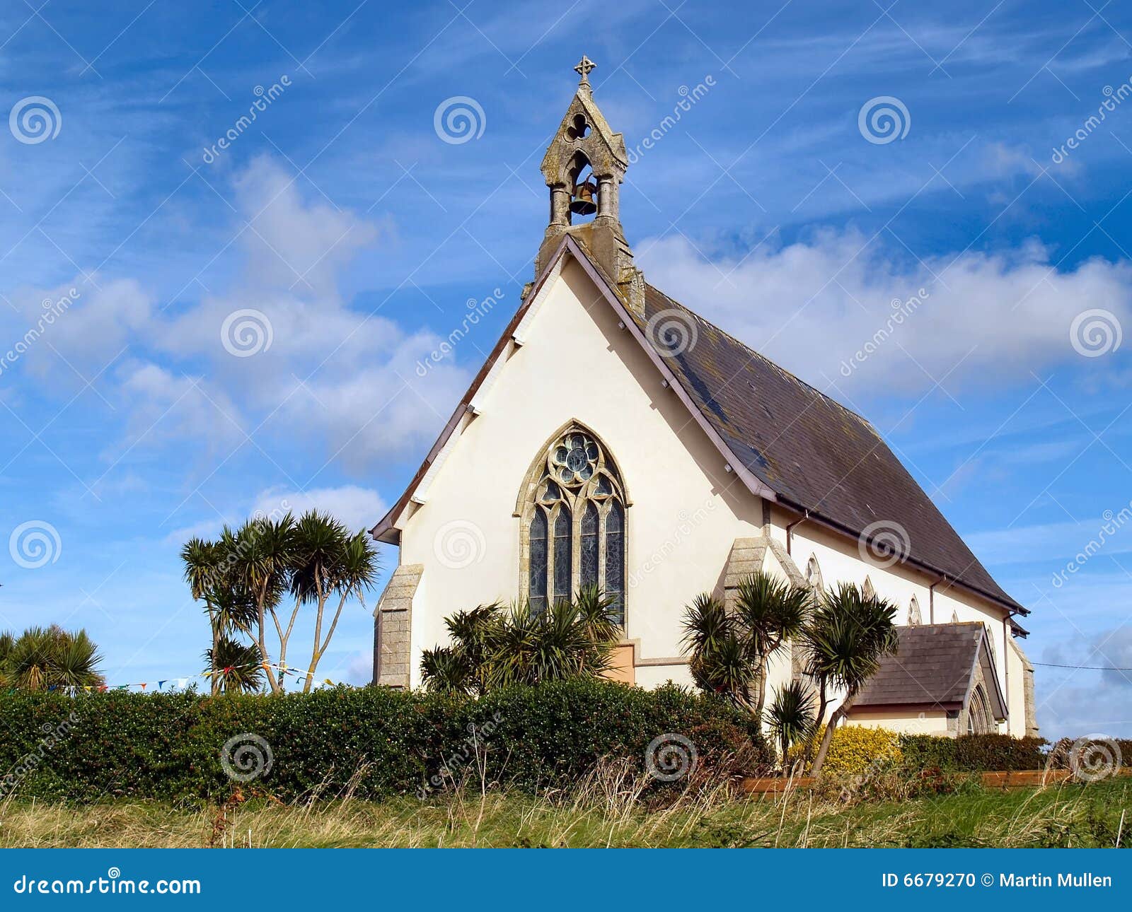 Church in Kilmore (clanmaurice By.)Church · 971 yd
 RoadRoad, road/trackway · 1.1 mi
 Long StrandBeach / strand · 1.4 mi
 Clashmealcon CavesCave · 1.6 mi
 Crazy GolfHeritage attraction · 1.8 mi
 PulleenIslet · 2.3 mi
 Men's BeachBeach / strand · 2.4 mi
 Ballybunion Cliff PathWalking route · 2.7 mi
 Dookeenee CastleCastle · 2.8 mi
 Pierce's IslandIslet · 3.4 mi
Other information
Photo: Credit not shown in the picture search · Rights wording not checked; contact us if this picture should be removed