What is recorded here
Knockuregare holds a twenty-seven-metre earthen ring where cremation pits wait three hundred metres away. The bank and fosse have watched pasture since before human memory, while linear marks cut through its base like forgotten roads. People may have lived inside the circle or simply passed it, but the earth keeps its shape against time.
In pasture, 148m SW of townland boundary with Ballingayrour, cremation pits (LI030-177/178-) 305m to NE. Depicted on the 1840 ed. OSi 6-inch map as circular shaped area enclosed by a bank. Shown on the 1897 ed. Osi 25-inch map as a raised circular-shaped area (dims. c. 27m N-S; 28m E-W) defined by a scarp and external fosse from NE-E-SE and from SW-W-NW. Monument visible as circular-shaped area enclosed by bank and fosse on OSi orthophotograph taken between 2005-12. Traces of fosse visible from S-W on Google Earth orthoimage dated 28/06/2018. Linear cropmarks running E-W intersect the monument at NW and S, running into a linear cropmark running N-S, visible on OSi orthophotograph taken between 2005-2012 and Google Earth orthoimages.
See attached aerial photograph (ASIAP (346) 3) 05/01/2003 and Google Earth orthoimages.
Compiled by: Fiona Rooney
Date of upload: 16 April 2021
A fairy fort or earthen ringfort in Knockuregare, likely dating to the early medieval period, is associated with local folklore surrounding faeries and otherworldly beings. The site's depiction on 19th-century Ordnance Survey Ireland maps suggests continuity of its cultural significance into more recent times.
The monument record does not grant public access. Check the route and ask the landowner before entering private land.
- What survives
- Recorded monument
Places near here
 Cremation pit in BallingayrourCremation pit · 362 yd
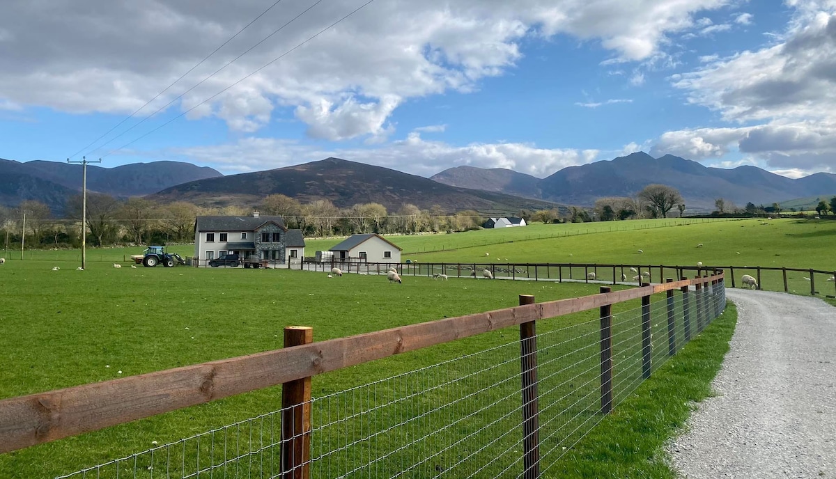 Enclosure in BallingayrourEnclosure · 478 yd
 post boxpost box · 1333 yd
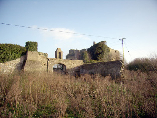 Greenpark Housecountry house · 1704 yd
 Castle (in ruins)Castle, unclassified · 1.7 mi
 Ballygrennan Castle (in ruins)Castle, tower house · 1.7 mi
 Lough GurVisitor information · 4.3 mi
 Grange Stone CircleArchaeological place · 4.3 mi
 KnockainyMountain / peak · 4.5 mi
 Flat cemetery in Knockainy WestFlat cemetery · 5.2 mi
 Ballinvreena LoopVisitor information · 7.4 mi
 St Patrick's WellSpring · 7.4 mi