What is recorded here
Knockskagh holds a circular earthworks site about twenty-six metres across, bounded by a one-metre bank on a south-facing slope. Grass and forgotten footsteps have softened its edges, but the shape still resists the pasture around it. People may have lived, hidden or marked territory there before written memory, while later callers called it a fairy fort because the land kept its own counsel.
In pasture, on S-facing slope. Heavily overgrown circular area (diam. c. 26m) enclosed by earthen bank (H 1.1m).
The above description is derived from the published 'Archaeological Inventory of County Cork. Volume 1: West Cork' (Dublin: Stationery Office, 1992). In certain instances the entries have been revised and updated in the light of recent research.
Date of upload/revision: 14 January 2009
The monument record does not grant public access. Check the route and ask the landowner before entering private land.
- What survives
- Recorded monument
Places near here
 CrusheennalannivBurial ground · 1328 yd
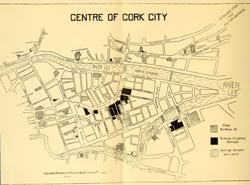 Burnt spread in Letter (carbery East (w.d) By.)Burnt spread · 1556 yd
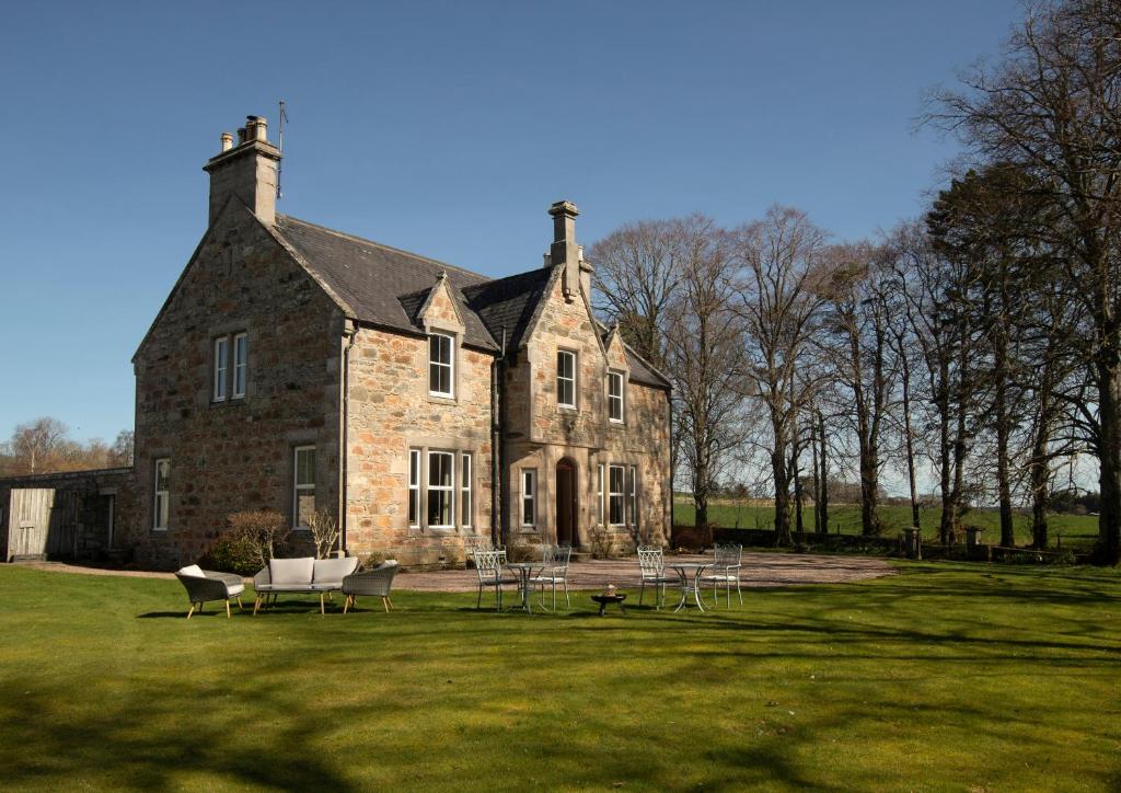 Country house in Letter (carbery East (w.d) By.)Country house · 1623 yd
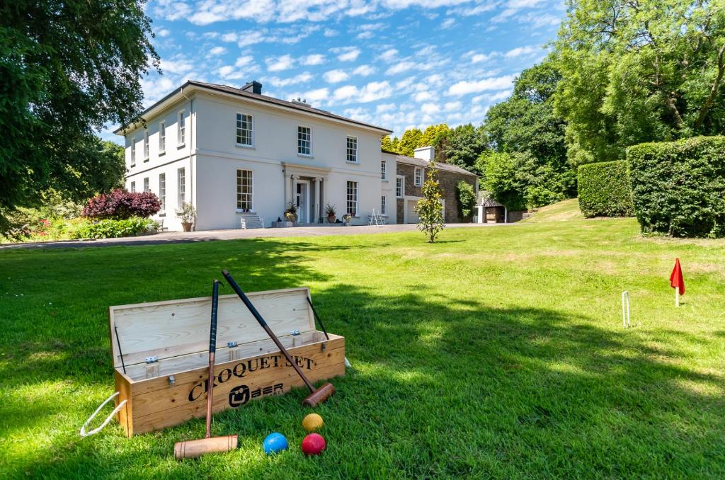 Country house in LiscubbaCountry house · 1.4 mi
 Fahanacowley Castle (Site of)Castle, unclassified · 2.2 mi
 Battle of the Big Cross (1798) Memorial MonumentMonument · 2.5 mi
 Castle (Site of)Castle, unclassified · 2.5 mi
 Corran HillMountain / peak · 2.6 mi
 The GlenWood · 3.4 mi
 Clonakilty Blackpudding Visitor CentreHeritage attraction · 3.5 mi
 Cloch na gCoillteMemorial · 3.6 mi
 Michael Collins House MuseumMuseum · 3.6 mi