What is recorded here
The earthen ringfort in Knocks holds a steep south-facing slope, using a six-metre natural scarp as much of its defence. People built the remaining bank and dug the outside ditch, creating gaps that may have served as entrances rather than failures. Local tradition claims an underground passage connects the site, suggesting the boundary between human and fairy realms remains porous there.
In pasture, on steep S-facing slope. Roughly circular area (46m E-W; 38m N-S) enclosed by earthen bank (H 1.8m); external fosse (D 1.65m) SSW->SSE; natural scarp (H 6m) SSE->SSW, topped by modern stone wall. Gaps in bank to E (Wth 2.7m); SW (Wth 5m); and N (Wth 3m); latter with causeway, probably ancient. Interior slopes down to S; used as dump. Tradition of associated Man-made underground passage (CO122-006002-).
The above description is derived from the published 'Archaeological Inventory of County Cork. Volume 1: West Cork' (Dublin: Stationery Office, 1992). In certain instances the entries have been revised and updated in the light of recent research.
Date of upload/revision: 14 January 2009
The monument record does not grant public access. Check the route and ask the landowner before entering private land.
- What survives
- Recorded monument
Places near here
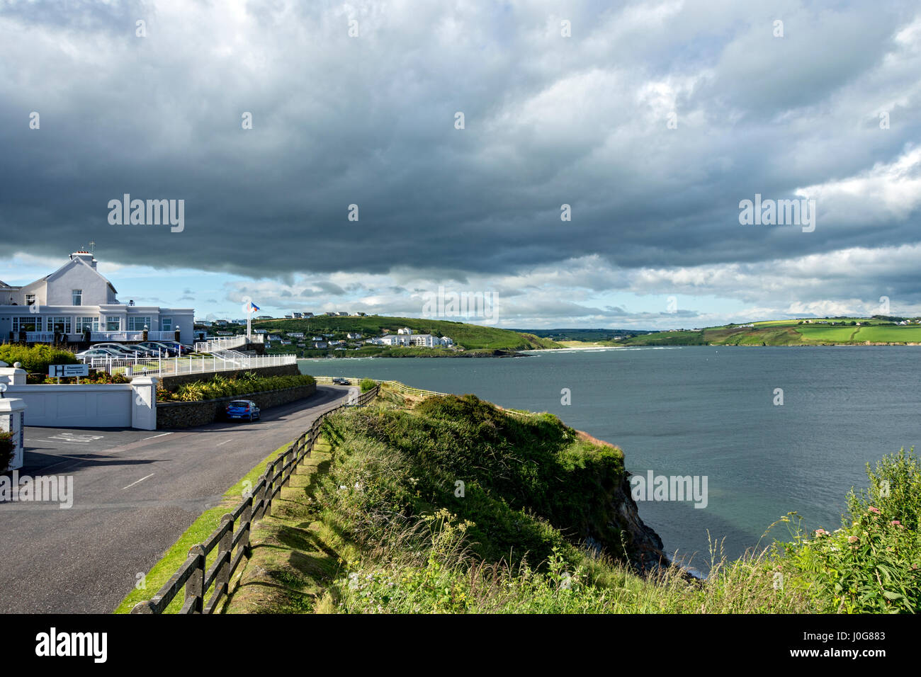 Man-made underground passage in Knocks (carbery East (e.d) By.)Man-made underground passage · 25 yd
 IndicatedFairy fort / earthen ringfort · 416 yd
 Church in Knocks (carbery East (e.d) By.)Church · 1288 yd
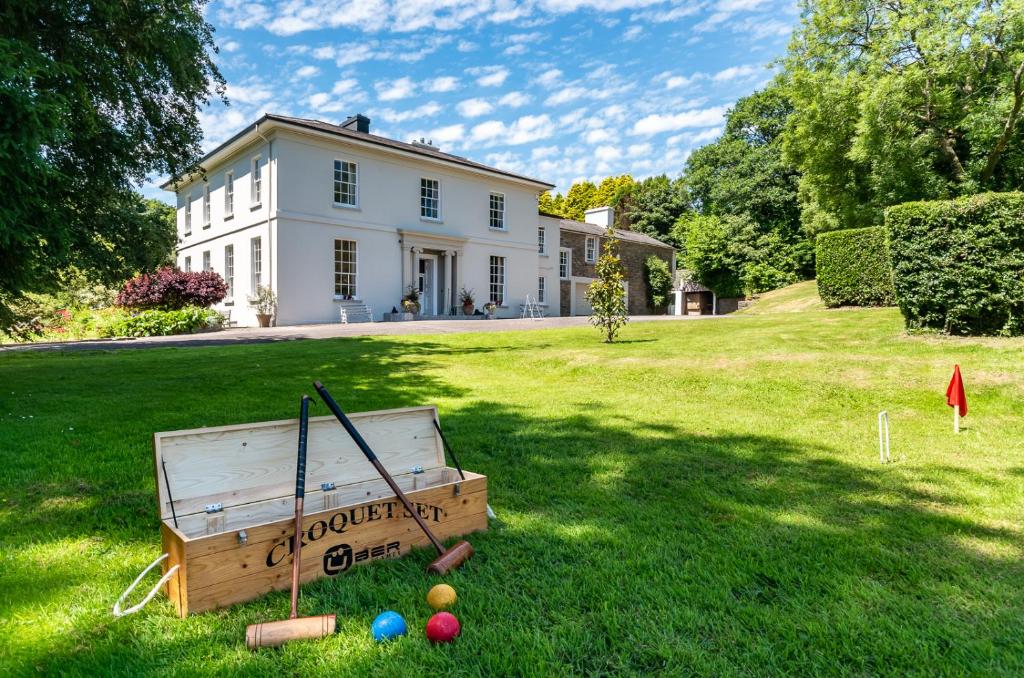 Country house in LiscubbaCountry house · 1.2 mi
 Corran HillMountain / peak · 1.3 mi
 Fahanacowley Castle (Site of)Castle, unclassified · 1.6 mi
 Castle DerryCastle · 1.7 mi
 The GlenWood · 2.3 mi
 Battle of the Big Cross (1798) Memorial MonumentMonument · 3.6 mi
 Irish National Forestry FoundationNature reserve · 4.0 mi
 Clonakilty Blackpudding Visitor CentreHeritage attraction · 4.7 mi
 Cloch na gCoillteMemorial · 4.8 mi