What is recorded here
Knockroe held a twenty-metre earthen ringfort above common ground until human arrogance buried it under topsoil and forgetting. The 1841 survey still drew its unbroken circle, but the land has smoothed the edge into a shallow dish of briars and forgotten dirt. What remained is not loss but transformation: the fort stopped being a boundary and became a wound in the earth, leaking its shape into the hill rather than holding it against the sky.
In waste ground covered with briars, atop hill. Monument, depicted as embanked circular enclosure (diam. c. 20m) on 1841 OS 6-inch map, is no longer evident. However, in exact location of site is a roughly circular area (22m N-S; 20m E-W) of very uneven ground covered by briars and scrub, probably resulting from area being used as dump for topsoil when dwelling house (now abandoned) built c. 20m to S. This area is generally c. 0.9m above level of surrounding terrain. A public road bounds site at N.
Compiled by: Denis Power
Date of upload: 26 August 2011
The monument record does not grant public access. Check the route and ask the landowner before entering private land.
- What survives
- Recorded monument
Places near here
 Enclosure in KildimoEnclosure · 378 yd
 Fulacht fia in KildimoFulacht fia · 474 yd
 Church in KildimoChurch · 684 yd
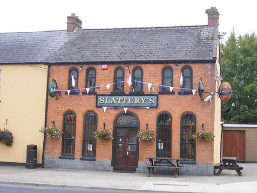 RIC barracksRIC barracks · 1234 yd
 Bolane CastleCastle · 1.1 mi
 Celtic Park and GardensHeritage attraction · 1.2 mi
 Ballyculhane CastleCastle · 1.6 mi
 Stonehall Visitor FarmHeritage attraction · 2.2 mi
 European BeechEuropean Beech · 3.3 mi
 European YewEuropean Yew · 3.9 mi
 Grass IslandIslet · 4.1 mi
 Mellon PointHeadland · 4.1 mi