What is recorded here
Knocknaneirk held a ringfort on a south-facing slope until ploughs erased it during the second half of the 19th century. An underground passage still lies hidden near the pasture, preserving part of the fort beneath ordinary ground. The visible wall vanished, but the earth kept the shape of the place.
In pasture, near bottom of S-facing slope. Local tradition of ringfort here, levelled in second half of 19th century. No visible surface trace of site. Man-made underground passage (CO083-137----) in interior or adjacent to site.
The above description is derived from the published 'Archaeological Inventory of County Cork. Volume 3: Mid Cork' (Dublin: Stationery Office, 1997). In certain instances the entries have been revised and updated in the light of recent research.
Date of upload/revision: 14 January 2009
The monument record does not grant public access. Check the route and ask the landowner before entering private land.
- What survives
- Recorded monument
Places near here
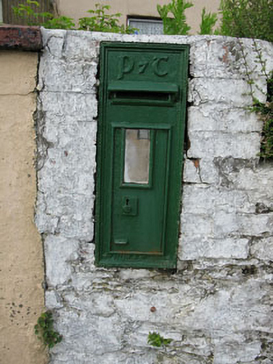 post boxpost box · 498 yd
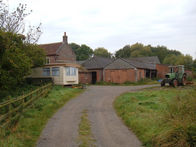 Hornhill BrBridge · 522 yd
 Knockaneirk Stone CircleArchaeological place · 1210 yd
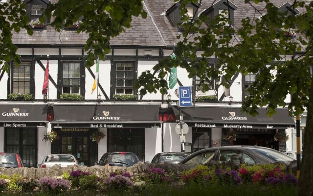 Fulacht FianFulacht fia · 1.3 mi
 Green HillMountain / peak · 1.4 mi
 Kilmurry WoodsPicnic place · 1.7 mi
 Independence MuseumMuseum · 1.8 mi
 Michael Collins MemorialMemorial · 1.9 mi
 Priest MemorialMemorial · 2.0 mi
 Summerhouse WoodForest · 2.1 mi
 Andrew's WoodWood · 2.4 mi
 Clodah CastleCastle · 2.9 mi