What is recorded here
Knocknamase holds a 37-metre earthen ring on a natural Offaly rise, using the northern slope as a built defence instead of digging a new ditch. The absence of an entrance or outer fosse suggests the land itself was shaped into a boundary rather than a typical fortified home. People may have stood inside that shallow scarped circle, reading the horizon or marking territory before written records arrived. The fort still works as a visible claim on the landscape, waiting for a person to walk its edge and complete the shape.
Situated on top of a natural rise in undulating countryside. Irregular shaped platform (diam 37m N-S; ext. H 0.5m) defined by a scarp with no evidence of an entrance feature or outer fosse. The natural slope of the rise at NNE forms part of the sites defences.
The above description is derived from the published 'Archaeological Inventory of County Offaly' (Dublin: Stationery Office, 1997). In certain instances the entries have been revised and updated in the light of recent research.
Date of upload: 23 May 2011
The monument record does not grant public access. Check the route and ask the landowner before entering private land.
- What survives
- Recorded monument
Places near here
 Golden Grove HillMountain / peak · 643 yd
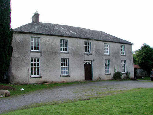 High Parkhouse · 1043 yd
 Golden Grove WoodWood · 1195 yd
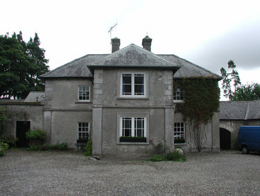 Fancroft Millsmiller's house · 1457 yd
 Hilltop enclosure in LoughanavattaHilltop enclosure · 1742 yd
 IndicatedCastle, motte · 1.0 mi
 Enclosure in LoughanavattaEnclosure · 1.1 mi
 Eagle HillMountain / peak · 1.1 mi
 CastleCastle, tower house · 1.4 mi
 Millennium GardenMemorial · 1.8 mi
 White MulberryWhite Mulberry · 2.0 mi
 Roscrea Petty Sessions HouseHeritage attraction · 2.0 mi