What is recorded here
No fairy appears in the facts, but a round fort is certain: thirty metres across, banked in earth and stone, set in open pasture where a person could watch every approaching road. The rear has vanished behind a newer fieldbank, yet the remaining ring still stands taller than the land around it. That much is measure, not myth.
Internal diameter 30.8m E-W
Situated in pastureland which is gently sloping N, this univallate ringfort has a good view in all directions. The S sector has been cut by a fieldbank running E-W and no trace of the fort survives to the S of the fieldbank. The enclosing earth and stone bank is on average 6m wide at the base and rises to 1m above the interior and 1m-3.4m above the external ground level. The interior is at a slightly higher level than the surrounding land and is gently sloping in a N direction.
The above description is derived from C. Toal, ‘North Kerry Archaeological Survey’. Dingle. Brandon in association with FAS Training and Employment Authority (1995), no. 757. In certain instances the entries have been revised and updated in the light of recent research.
Date of upload: 2 August 2013
The monument record does not grant public access. Check the route and ask the landowner before entering private land.
- What survives
- Recorded monument
Places near here
 Man-made underground passage in BallyconnellMan-made underground passage · 1401 yd
 Enclosure in Lacka MoreEnclosure · 1429 yd
 Kilflynn Nature ReserveNature reserve · 1.4 mi
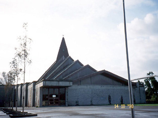 Saint Bernard's Catholic Churchchurch/chapel · 1.4 mi
 Kilflyn Churchchurch/chapel · 1.5 mi
 CruslineMountain / peak · 2.6 mi
 Tobar na MoltSpring · 3.4 mi
 Stack's MountainMountain / peak · 3.4 mi
 Ballymacaquinn Castle (remains of)Castle · 3.7 mi
 CastleCastle, Anglo-Norman masonry castle · 4.5 mi
 PouldermotCave · 4.9 mi
 Ardfert Franciscan FriaryVisitor information · 5.0 mi