What is recorded here
No fort appears in Knocknaboola, though memory insists Lissaghaunbeg stood at the western edge. The earth may have swallowed its ridge, or people may have invented a boundary marker for a field that never needed defending. Either way the absence becomes a room: large enough to walk through, dark enough to lose a lantern, and shaped like every place that disappeared before being written down.
The OSNB records a 'fort' called 'Lissaghaunbeg'/ Liosachan Beag, in the western side of this townland. However, it is also noted there that there is 'no fort of this name on the ground' (Ó Cíobháin 1978, 11). No fort was located, and it is not marked on the OS maps.
The above description is derived from A. O'Sullivan and J. Sheehan (compilers), 'The Iveragh peninsula: an archaeological survey of South Kerry'. Cork University Press (1996), no. 682. In certain instances the entries have been revised and updated in the light of recent research.
Date of upload: 29 July 2013
The monument record does not grant public access. Check the route and ask the landowner before entering private land.
- What survives
- Recorded monument
Places near here
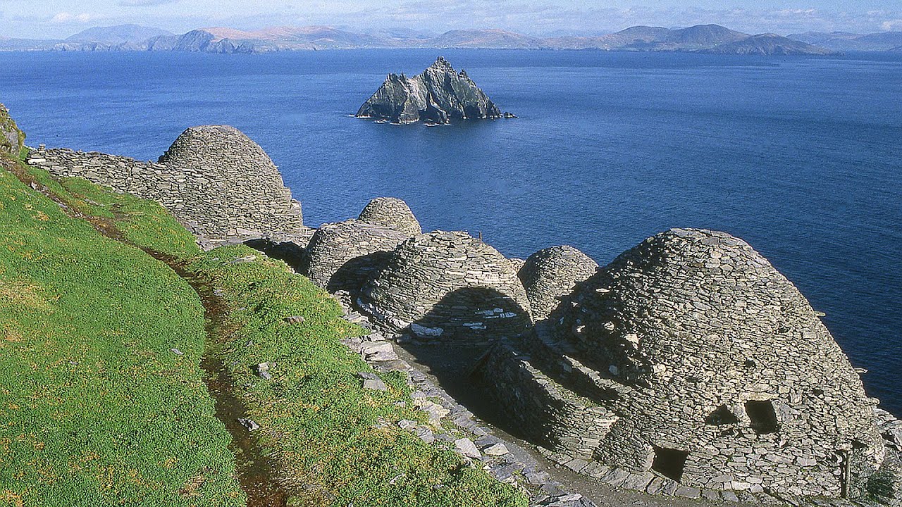 Hut site in ArdacluckeenHut site · 1.3 mi
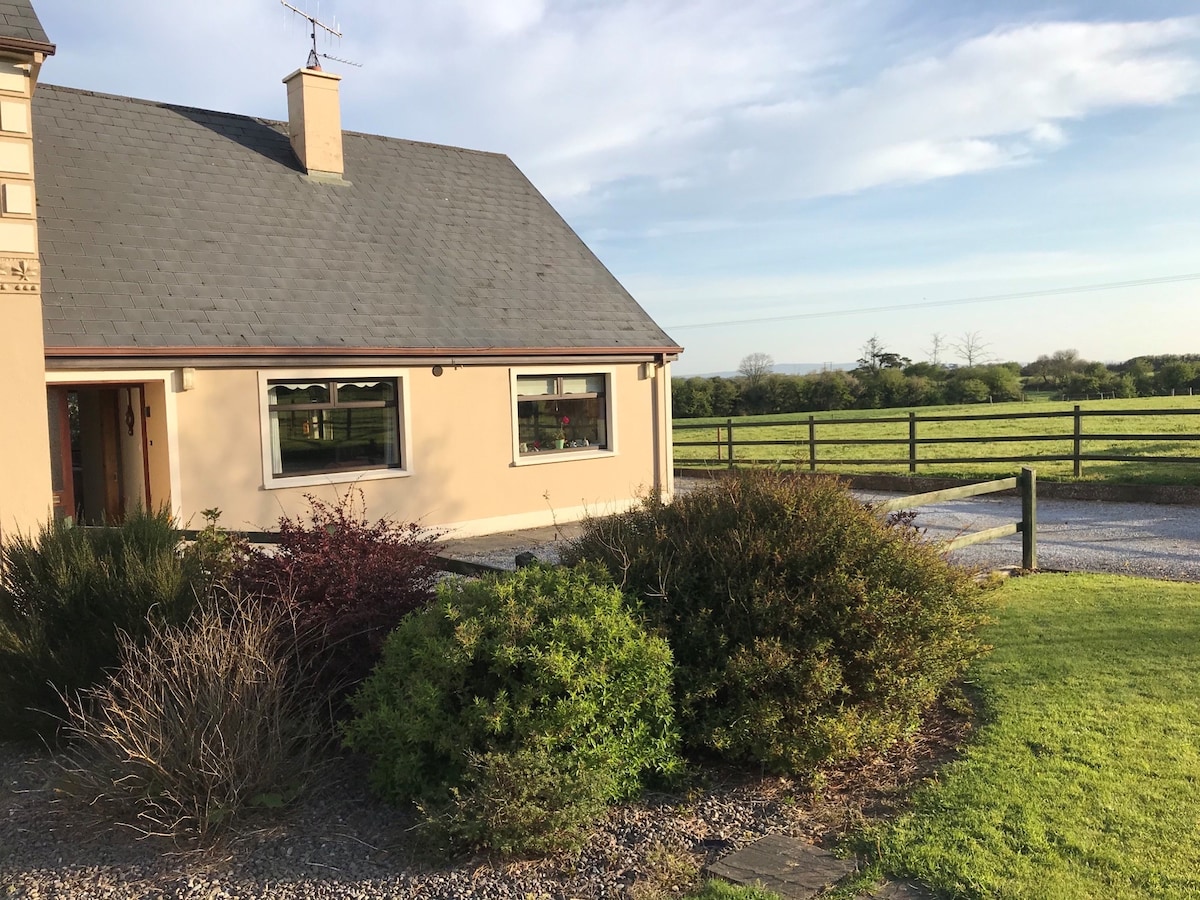 Enclosure in ArdacluckeenEnclosure · 1.3 mi
 Saint Michael's Church (Killorglin)church/chapel · 2.0 mi
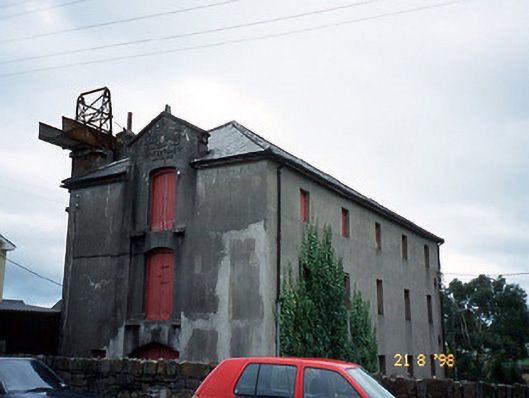 store/warehousestore/warehouse · 2.0 mi
 CastleCastle, tower house · 2.0 mi
 King Puck statueMemorial · 2.0 mi
 Cloon IslandIsland · 2.9 mi
 Clash IslandIslet · 3.3 mi
 Kerry Bog VillageHeritage attraction · 3.6 mi
 KnockbrackMountain / peak · 3.9 mi
 Lough Yganavan Nature ReserveNature reserve · 4.1 mi
 Lough Nambrackdarrig Nature ReserveNature reserve · 4.2 mi