What is recorded here
Fairy fort / earthen ringfort in Knockmullin is a fairy fort or earthen ringfort in Knockmullin, County Sligo, Ireland. It occupies the east end of a ridge above Toberscanavan Loughs and preserves a circular platform nineteen metres across. An earthen bank and external fosse mark its boundary, while a stone field boundary cuts through the interior.
In pasture, on the E end of a ridge, overlooking Toberscanavan Loughs to E and SE. A circular platform (int. diam. 19m) enclosed on top by the remains of an earthen bank (Wth 2-3m; H 0.2m). The platform is highest (H 3m) along the S arc. Traces of an external fosse (Wth 1.5-2m; D 0.3-0.4m) are evident at the base of the platform along the W arc. The interior slopes down to W and is bisected on a NW-SE axis by the remains of a stone-built field boundary.
The above description is derived from the published 'Archaeological Inventory of County Sligo' compiled by Ursula Egan, Elizabeth Byrne, Mary Sleeman with Sheila Ronan and Connie Murphy (Dublin Stationery Office, 2005).
Date of upload: 18 January 2008
The monument record does not grant public access. Check the route and ask the landowner before entering private land.
- What survives
- Recorded monument
Places near here
 Castle (Site of)Castle, unclassified · 619 yd
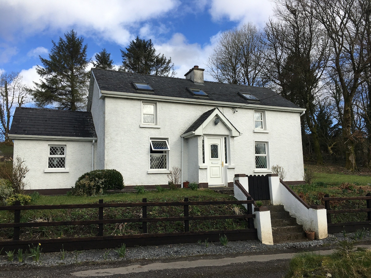 Enclosure in MullaghnabreenaEnclosure · 772 yd
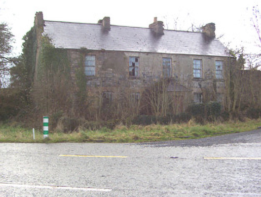 Toberscanavan Househouse · 936 yd
 Fairy fort / earthen ringfort in Knockbeg EastFairy fort / earthen ringfort · 1169 yd
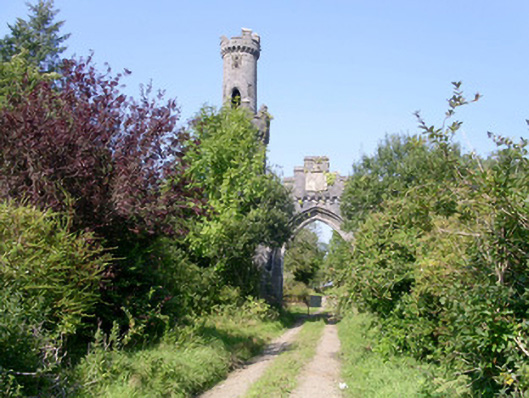 Markree Castlegate lodge · 1522 yd
 European ashEuropean ash · 1.6 mi
 Field MapleField Maple · 1.8 mi
 CastleCastle, motte and bailey · 2.0 mi
 James MorrisonMemorial · 2.6 mi
 CroaghaunMountain / peak · 3.4 mi
 Tullaghan HillMountain / peak · 3.9 mi
 Giants GraveArchaeological place · 4.0 mi