What is recorded here
On E-facing slope, just below hill crest, in undulating terrain, under pasture. Standing stone (TS076-045----) visible on hillcrest c. 120m to SW. Well-preserved ringfort (diam. 27m E-W; N-S not obtainable due to scrub) defined by bank (Wth 1.4m crest, 3m base; int. H 0.58m; H above fosse 1.02m) with high stone content; wide, flat-bottomed fosse (Wth 2.7m) and low outer bank (Wth 1m crest, 1.7m base; H above int. fosse 0.57m; H above ext. 0.28m). Field boundary runs roughly N-S along E quadrant. Stone also evident in outer bank. Lot of dead wood dumped in fosse. Scrub and nettles in interior and around bank. Entrance (Wth 1.8m) in E quadrant. Lot of dead wood dumped in front of it. Appears to be stone lined. Outer bank has been slightly truncated in S quadrant. Lot of rabbit burrows in inner bank.
Compiled by: Jean Farrelly
Date of upload: 26 August 2011
The monument record does not grant public access. Check the route and ask the landowner before entering private land.
- What survives
- Recorded monument
Places near here
 Enclosure in EdenmoreEnclosure · 430 yd
 Loughlohery Castlekiln · 1015 yd
 Enclosure in Rathmore (caher Par.)Enclosure · 1073 yd
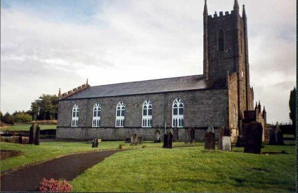 Ballylegan Church (in ruins)Church · 1342 yd
 Loughlohery Beating ChurchCastle · 1513 yd
 Coolbane Castle (in ruins)Castle, tower house · 1664 yd
 Cahir CastleHeritage attraction · 2.3 mi
 Caher AbbeyHeritage attraction · 2.4 miSiege of Cahir Castlesiege · 2.4 mi
 European YewEuropean Yew · 2.6 mi
 Cottagehill WoodForest · 2.6 mi
 Woodcock HillMountain / peak · 3.6 mi