What is recorded here
Fairy fort / earthen ringfort in Knockgraffon is a fairy fort or earthen ringfort in Knockgraffon, County Tipperary, Ireland. It sits on a west-northwest-facing slope of Knockillon Hill in hilly terrain, within a lush meadow. The ringfort measures about 32 metres north-south and 26 metres east-west, with a scarp 0.5 to 0.88 metres high and small stones protruding from the edge at the southwest quadrant. The site is heavily overgrown with scrub around the edges and nettles in the interior.
On a WNW-facing slope of Knockillon Hill, towards the base, in hilly terrain. In lush meadow. Ringfort (TS068-108----) visible c. 300m to WNW. Ringfort (diam. c. 32m N-S; c. 26m E-W) heavily overgrown with scrub around the edges and to a lesser extent in the interior which is heavily nettle covered. It is defined by a scarp (0.5-0.88m H) with small stones protruding from edge at SW quadrant. Field boundary runs NW-SE 4m S of monument. Two very large boulders have been dumped immediately outside the scarp in SE quadrant.
Compiled by: Jean Farrelly
Date of upload: 01 April 2014
The monument record does not grant public access. Check the route and ask the landowner before entering private land.
- What survives
- Recorded monument
Places near here
 Enclosure in KnockgraffonEnclosure · 541 yd
 LisheenEnclosure · 703 yd
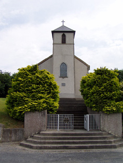 Saint Bartholomew's Catholic Churchchurch/chapel · 1137 yd
 Knockgraffon CastleCastle · 1398 yd
 Knockgraffon Church (in ruins)Church · 1.0 mi
 Knockgraffon MoatCastle, motte and bailey · 1.2 mi
 Caucasian zelkovaCaucasian zelkova · 3.0 mi
 Caher AbbeyHeritage attraction · 3.4 mi
 Siege of Cahir Castlesiege · 3.6 mi
 Cappa WoodWood · 3.7 miCahir CastleHeritage attraction · 3.8 mi
 Slieveanard NE TopMountain / peak · 3.9 mi