What is recorded here
Knockglass holds a levelled ringfort wide enough for a small household, yet ploughing and pasture erased most of its banks before the 1842 map marked the circle. Grass still betrays the buried line because it grows differently over compacted earth and broken soil. The fort may have served as a farmstead, a refuge or a boundary marker for people whose names never reached the inventory. Under the open field, that forgotten circle waits for rain, roots and patience to reveal itself again.
In pasture. Levelled; depicted as hachured circular enclosure (diam. c. 25m) on 1842 OS 6-inch map. Faint outline of levelled bank, fosse and possible second bank visible, due to differential growth of vegetation.
The above description is derived from the published 'Archaeological Inventory of County Cork. Volume 3: Mid Cork' (Dublin: Stationery Office, 1997). In certain instances the entries have been revised and updated in the light of recent research.
Date of upload/revision: 14 January 2009
A fairy fort or earthen ringfort in Knockglass, Muskerry East, is a likely early-medieval defensive or agricultural site, indicated by its circular enclosure and earthworks. Local tradition associates such sites with fairy folklore, suggesting they were homes of the "Good People" or portals to the Otherworld.
The monument record does not grant public access. Check the route and ask the landowner before entering private land.
- What survives
- Recorded monument
Places near here
 Fulacht fia in Knockglass (muskerry East By.)Fulacht fia · 106 yd
 IndicatedKiln, lime · 494 yd
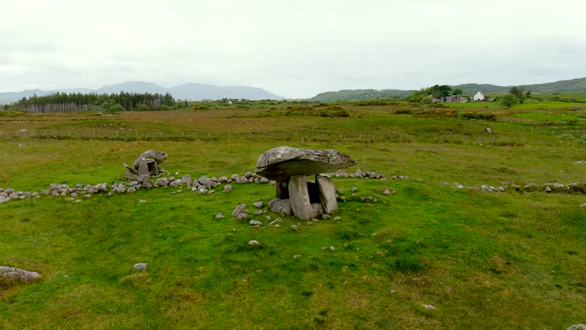 DolmenWedge tomb · 619 yd
 St John the Baptist Roman Catholic Churchchurch/chapel · 883 yd
 Black WoodWood · 1532 yd
 BurrenMountain / peak · 1.2 mi
 Clonavrick CliffCliff · 2.3 mi
 Mullinhassig WaterfallWaterfall · 2.8 mi
 Ummera WoodWood · 2.8 mi
 Carrigadrohid Castle InfoVisitor information · 3.4 mi
 Carrigadrohid CastleHeritage attraction · 3.5 mi
 Carrigadrohid Castle (in Ruins)Castle, tower house · 3.5 mi