What is recorded here
Knockglass held a twenty-five metre earthen ring beside a wedge tomb, marking the area as a lived-in landscape long before modern fields erased its edge. The fort contained a hidden underground passage and a limekiln, suggesting people worked, stored or made things inside the bank rather than merely walking past. Farming and forgetting have since smoothed the circle into grass, but the shape still resists complete disappearance.
In rough grazing land. Depicted as hachured circular enclosure (diam. c. 25m) on 1842 OS 6-inch map, with Man-made underground passage (CO060-128002-) inside E bank and limekiln in E bank. Levelled; according to Hartnett (1939, 63) 'outline is barely traceable and the diameter is approximately 80 feet'. Wedge tomb (CO060-127----) c. 120m to WSW.
The above description is derived from the published 'Archaeological Inventory of County Cork. Volume 3: Mid Cork' (Dublin: Stationery Office, 1997). In certain instances the entries have been revised and updated in the light of recent research.
Date of upload/revision: 14 January 2009
The monument record does not grant public access. Check the route and ask the landowner before entering private land.
- What survives
- Recorded monument
Places near here
 IndicatedKiln, lime · 16 yd
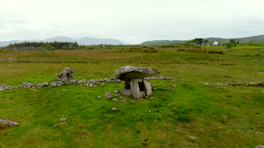 DolmenWedge tomb · 146 yd
 Fulacht fia in Knockglass (muskerry East By.)Fulacht fia · 495 yd
 St John the Baptist Roman Catholic Churchchurch/chapel · 845 yd
 BurrenMountain / peak · 1759 yd
 Black WoodWood · 1.1 mi
 Clonavrick CliffCliff · 2.0 mi
 Ummera WoodWood · 2.8 mi
 Mullinhassig WaterfallWaterfall · 3.0 mi
 Carrigadrohid Castle InfoVisitor information · 3.6 mi
 Battle of Macroombattle · 3.7 mi
 Carrigadrohid CastleHeritage attraction · 3.7 mi