What is recorded here
Knockburrane holds a vanished ringfort wide enough for thirty paces, though ploughs and time have flattened its bank into a faint yellow line in the grass. It is not a dramatic ruin but a ghost shape, large enough to have contained houses, yards and ordinary lives, yet now visible only because the soil still remembers the weight of its wall. What was lost is not small. The field has swallowed a whole neighbourhood and kept only a pale circle behind which people may still have argued, loved, buried and forgotten.
Internal diameter c. 30.4m N-S, 30.2m E-W
This univallate rath is situated one field NE of KE016-039----. It has been levelled and its extent can only be ascertained by a yellowing of the grass which marks the position of the bank, which would appear to have been 3m-4.5m wide.
The above description is derived from C. Toal, ‘North Kerry Archaeological Survey’. Dingle. Brandon in association with FAS Training and Employment Authority (1995), no. 633. In certain instances the entries have been revised and updated in the light of recent research.
Date of upload: 2 August 2013
The monument record does not grant public access. Check the route and ask the landowner before entering private land.
- What survives
- Recorded monument
Places near here
 Enclosure in Ballyhorgan SouthEnclosure · 1701 yd
 Church in Kilfeighny NorthChurch · 1.4 mi
 TobershenaneHoly well · 1.5 mi
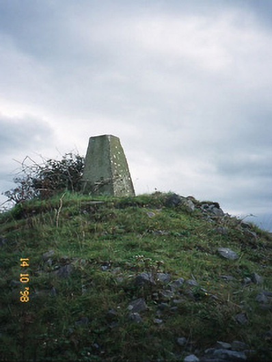 FitzMaurice Monumentmonument · 2.0 mi
 CastleCastle, Anglo-Norman masonry castle · 2.7 mi
 Kilflynn Nature ReserveNature reserve · 4.1 mi
 Listowel Castle (in ruins)Castle, tower house · 4.7 mi
 Kerry Writers' MuseumMuseum · 4.8 mi
 Bryan MacMahonMemorial · 4.8 mi
 Lartigue MonorailMuseum · 4.9 mi
 John B. Keane GroveMemorial · 5.0 mi
 Stack's MountainMountain / peak · 5.3 mi