What is recorded here
Knockburrane holds a rare double-ringed fort, its inner bank still tracing a wide circle while an outer ridge fades into the grass. The site has been levelled until barely visible, yet vegetation still betrays the hidden shape. People may have lived inside that round chamber, raised children there, and forgotten the name before the fields swallowed the walls.
Internal diameter c. 40m N-S, c. 41.6m E-W
This circular enclosure is marked on the 1841-42 and 1914-15 OS maps. It also shows up quite clearly on the Geological Survey of Ireland's aerial photographs (1974). This site has been levelled and is barely visible above the ground, though due to the different vegetation colours certain measurements can be taken. This possible bivallate rath consists of a circular inner area enclosed by an earthen bank, which is traceable from the NW through N to E to SE; it is 3.5m-5m wide. A fosse would appear to enclose this bank and ranges from 7m-12m in width. The outer bank can be traced for most of the site, except to the S to W, and is c 4m wide. A field ditch cuts the N sector of this site in an E-W direction.
The above description is derived from C. Toal, ‘North Kerry Archaeological Survey’. Dingle. Brandon in association with FAS Training and Employment Authority (1995), no. 630. In certain instances the entries have been revised and updated in the light of recent research.
Date of upload: 2 August 2013
The monument record does not grant public access. Check the route and ask the landowner before entering private land.
- What survives
- Recorded monument
Places near here
 Church in Kilfeighny NorthChurch · 1314 yd
 Enclosure in Ballyhorgan SouthEnclosure · 1.2 mi
 Enclosure in BallincraheenEnclosure · 1.4 mi
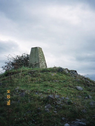 FitzMaurice Monumentmonument · 1.9 mi
 CastleCastle, Anglo-Norman masonry castle · 2.3 mi
 Kilflynn Nature ReserveNature reserve · 3.4 mi
 Stack's MountainMountain / peak · 4.8 mi
 Listowel Castle (in ruins)Castle, tower house · 5.4 mi
 Kerry Writers' MuseumMuseum · 5.5 mi
 Bryan MacMahonMemorial · 5.5 mi
 CruslineMountain / peak · 5.6 mi
 Lartigue MonorailMuseum · 5.6 mi