What is recorded here
Knockbride holds a forty-metre earthen ring where a hidden passage still breathes beneath the soil. The bank survives only in fragments, yet the shape resists forgetting. People may have entered the dark passage to hide, worship or simply escape the rain. The earth kept the request alive long after the entrance disappeared.
Raised circular area (int. diam. c. 40m) enclosed by an earthen bank identifiable only from NW-N-NE and a shallow fosse discernible only from SW-NW. Bank merges with a low field boundary which encloses site from NE-S-NW. Original entrance not recognisable. Within the internal area is a possible Man-made underground passage (CV028-029002-). (CUCAP BGL 77)
The above description is derived from the published 'Archaeological Inventory of County Cavan' (Dublin: Stationery Office, 1995). In certain instances the entries have been revised and updated in the light of recent research.
Date of upload/revision: 22 December 2008
The monument record does not grant public access. Check the route and ask the landowner before entering private land.
- What survives
- Recorded monument
Places near here
 Cappog Bog WoodlandWood · 459 yd
 DrumeagueMountain / peak · 643 yd
 St Brigid's Roman Catholic Churchchurch/chapel · 1315 yd
 White Lough WoodWood · 1473 yd
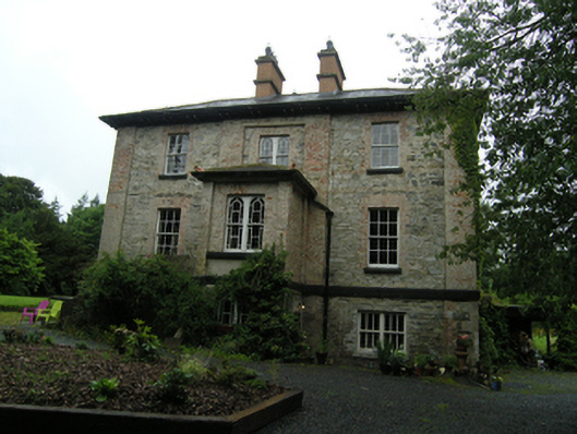 rectory/glebe/vicarage/curate's houserectory/glebe/vicarage/curate's house · 1624 yd
 Grave YardGraveyard · 1.0 mi
 Enclosure in KillalissEnclosure · 1.2 mi
 Bawn in Skeagh (clankee By.)Bawn · 1.3 mi
 CorravillaMountain / peak · 1.3 mi
 Small IslandIsland · 2.3 mi
 Welcome to Bailieborough DemesneVisitor information · 2.6 mi
 Rebel HillMemorial · 2.9 mi