What is recorded here
Knockbride held a fort strong enough to mark surveys before human memory faded. Quarrying and forgetting stripped it to a curving bank and a stolen hole, yet the shape still leans across the field like a forgotten sentence. What the earth remembered, people removed; what people removed, the field keeps warm.
Marked 'Fort' on OS 1836 and 1876 eds. This site is very badly disturbed. All that survives are the remains of a curving earthen bank running from NNW-N-E defining a slightly raised area. A hole has been quarried on the inside of the bank from N-NE. Otherwise no visible remains at ground level.
The above description is derived from the published 'Archaeological Inventory of County Cavan' (Dublin: Stationery Office, 1995). In certain instances the entries have been revised and updated in the light of recent research.
Date of upload/revision: 22 December 2008
The monument record does not grant public access. Check the route and ask the landowner before entering private land.
- What survives
- Recorded monument
Places near here
 St Brigid's Roman Catholic Churchchurch/chapel · 364 yd
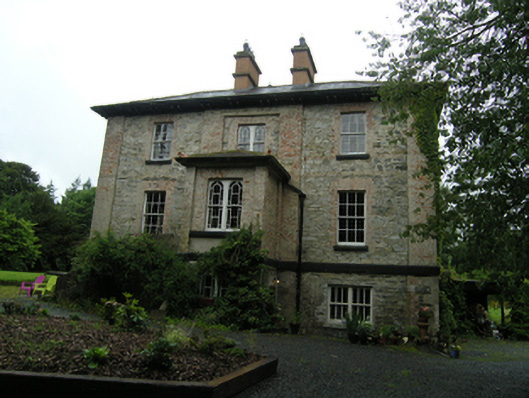 rectory/glebe/vicarage/curate's houserectory/glebe/vicarage/curate's house · 630 yd
 Grave YardGraveyard · 792 yd
 DrumeagueMountain / peak · 842 yd
 Enclosure in KillalissEnclosure · 1161 yd
 Knockbride Wet WoodlandWood · 1188 yd
 White Lough WoodWood · 1363 yd
 DrumbinnisMountain / peak · 1.6 mi
 Small IslandIsland · 1.8 mi
 Bawn in Skeagh (clankee By.)Bawn · 1.9 mi
 Welcome to Bailieborough DemesneVisitor information · 3.2 mi
 Green IslandIsland · 3.3 mi