What is recorded here
Knockbrack holds a buried ringfort where human hands shaped earth into a circle centuries before modern roads cut across the field. It is the kind of place where ordinary life became visible: a farm, a boundary, a home, or a small centre of local authority. The fairy fort name does not dismiss that human history; it preserves the old wonder that the land still remembers what people forgot.
The Archaeological Survey of Ireland (ASI) is in the process of providing information on all monuments on The Historic Environment Viewer (HEV). Currently the information for this record has not been uploaded. To access available information for research purposes please make an appointment in advance with the Archive Unit (open Fridays 10.00 am – 5.00 pm), Department of Housing, Local Government and Heritage, The Custom House, Dublin 1 D01W6XO or email NMarchive@housing.gov.ie.
The monument record does not grant public access. Check the route and ask the landowner before entering private land.
- What survives
- Recorded monument
Places near here
 Knockbrack Ringfort (rath)Archaeological place · 981 yd
 Ballinlammy RingfortArchaeological place · 1074 yd
 Tory HillMountain / peak · 1.5 mi
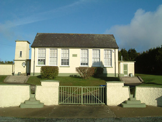 Ballyfasy National Schoolschool · 1.7 mi
 Mullennahone GorseForest · 1.7 mi
 farm housefarm house · 1.7 mi
 Castle (Site of)Castle, unclassified · 1.8 mi
 Gaul Burke's CastleArchaeological place · 2.9 mi
 Clonassy WoodForest · 3.8 mi
 Poulanassy WaterfallWaterfall · 4.6 mi
 Kennedy HomesteadHeritage attraction · 4.6 mi
 Goat IslandIsland · 5.0 mi