What is recorded here
Knockbarry held a thirty-metre earthen ring on a hillock, large enough to exclude every ordinary creature that bypassed it. A rectangular house sat immediately outside the southeast edge, suggesting a human resident accepted the boundary rather than owning the space within. Ploughs and patience erased the ridge before maps could measure its shadow, leaving only the empty circle and the house that still faces it.
In pasture, atop hillock. Depicted as hachured circular enclosure (diam. c. 30m) on 1842 OS 6-inch map, with rectangular house shown immediately outside enclosure to SE. Levelled; no visible surface trace.
The above description is derived from the published 'Archaeological Inventory of County Cork. Volume 4: North Cork' (Dublin: Stationery Office, 2000). In certain instances the entries have been revised and updated in the light of recent research.
Date of upload/revision: 14 January 2009
The monument record does not grant public access. Check the route and ask the landowner before entering private land.
- What survives
- Recorded monument
Places near here
 Fulacht FiadhFulacht fia · 282 yd
 Fulacht fia in Knockbarry (orrery and Kilmore By., Liscarroll Par.)Fulacht fia · 806 yd
 Quarry in Coolbane (orrery and Kilmore By.)Quarry · 1060 yd
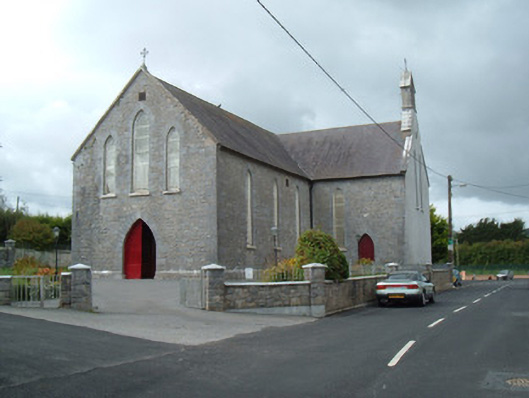 Saint Joseph's Churchchurch/chapel · 1292 yd
 Battle of LiscarrollMajor battlefield · 1459 yd
 Liscarroll CastleCastle · 1564 yd
 Lady's WellSpring · 2.9 mi
 Lisgriffin CastleCastle · 3.0 mi
 Churchtown TrailsVisitor information · 3.4 mi
 Windmill HillMountain / peak · 3.6 mi
 European YewEuropean Yew · 5.3 mi
 Burial ground in AssolasBurial ground · 5.4 mi