What is recorded here
Knockballyvishteal holds a forty-five-metre circular scar on a grassy ridge, overlooking dark bog water. Local memory names it Connolly's Fort, suggesting a human hand shaped the earth before time forgot the details. The soil has slipped and blurred the boundary, yet the circle remains visible enough to stop a walking person and force imagination.
On SW-facing slope of a ridge in grassland overlooking bog to S. Known locally as 'Connolly's Fort' (Neary 1914, 123, no. 145), this very poorly preserved circular rath (D 45m) is defined by a degraded scarp.
The above description is derived from the published 'Archaeological Inventory of County Galway Vol. II - North Galway'. Compiled by Olive Alcock, Kathy de hÓra and Paul Gosling (Dublin: Stationery Office, 1999).
Date of upload: 05 August 2010
The monument record does not grant public access. Check the route and ask the landowner before entering private land.
- What survives
- Recorded monument
Places near here
 Enclosure in Kilcloony (clonmacnowen By.),quarrymountEnclosure · 1374 yd
 Cross in Kilcloony (dunmore By.)Cross · 1489 yd
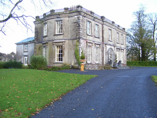 Quarrymount Househouse · 1.0 mi
 Bawn in Kilcloony (dunmore By.)Bawn · 1.1 mi
 Site of Doonbally CastleCastle, unclassified · 1.2 mi
 Abbey in ruinsChurch · 2.0 mi
 European ashEuropean ash · 4.2 mi
 Mass RockNamed rock · 5.9 mi
 KnockmaaWood · 9.2 mi
 Enclosure in Grange (doonbally Ed)Enclosure · 1575 yd
 Cross in Lenamore (dunmore By.)Cross · 1.3 mi
 Strawberry Hill FortArchaeological place · 1.3 mi