What is recorded here
Knockballyvishteal holds a fifty-two metre circular rath on a grassy rise, locally called Lyon's Fort. Fields cut through its northern and eastern edges, erasing the outer bank in places, yet the scarp and fosse still trace the original boundary. The southwest gap appears modern, suggesting human traffic or farming altered the ancient shape. What remains is a shallow bowl in the land, large enough to swallow a house but small enough to fit inside a single breath of wind.
On a rise in undulating grassland. Known locally as 'Lyon's Fort' (Neary 1914, 123, no. 146), this poorly preserved circular rath (D c. 52m) is defined by a scarp, intervening fosse and outer bank. A gap at SW appears modern. A field bank cuts the monument at N and E, and no visible surface trace of the enclosing elements survives to NE of it.
The above description is derived from the published 'Archaeological Inventory of County Galway Vol. II - North Galway'. Compiled by Olive Alcock, Kathy de hÓra and Paul Gosling (Dublin: Stationery Office, 1999).
Date of upload: 05 August 2010
The monument record does not grant public access. Check the route and ask the landowner before entering private land.
- What survives
- Recorded monument
Places near here
 Enclosure in Kilcloony (clonmacnowen By.),quarrymountEnclosure · 1079 yd
 Cross in Kilcloony (dunmore By.)Cross · 1301 yd
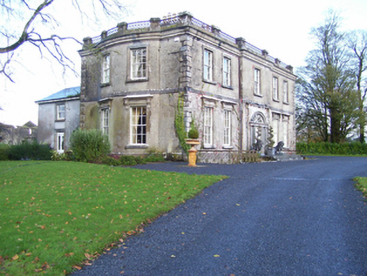 Quarrymount Househouse · 1535 yd
 Bawn in Kilcloony (dunmore By.)Bawn · 1659 yd
 Site of Doonbally CastleCastle, unclassified · 1.4 mi
 IndicatedHouse, indeterminate date · 1.9 mi
 European ashEuropean ash · 4.2 mi
 Mass RockNamed rock · 5.9 mi
 KnockmaaWood · 9.2 mi
 Enclosure in Grange (doonbally Ed)Enclosure · 1.1 mi
 Field system in Clashaganny (dunmore By.),kilphrasogaField system · 1.2 mi
 Strawberry Hill FortArchaeological place · 1.4 mi