What is recorded here
Knockavota held a huge earthen fort wide enough for thirty men to stretch across, with a west entrance and an underground passage cutting through its heart. Matthew Shea owned the land when the shape was recorded in 1942, yet the exact spot has slipped from human memory. The fairies may have taken back their house, erased the path and kept the passage for themselves.
A large single banked fort 120 feet (c. 36.5m) in diameter with its entrance at the West was recorded on Matthew Shea's land in 1942 (MCKFC vol. 1, 303). A sketch in the above reference shows that it was surrounded by a ring of evenly spaced stones. It had an open Man-made underground passage in its interior. Its precise location is not known.
Compiled by: Matt Kelleher
Date of upload: 13 March 2013
The monument record does not grant public access. Check the route and ask the landowner before entering private land.
- What survives
- Recorded monument
Places near here
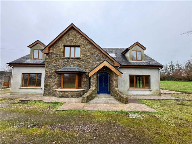 Enclosure in KnockavotaEnclosure · 385 yd
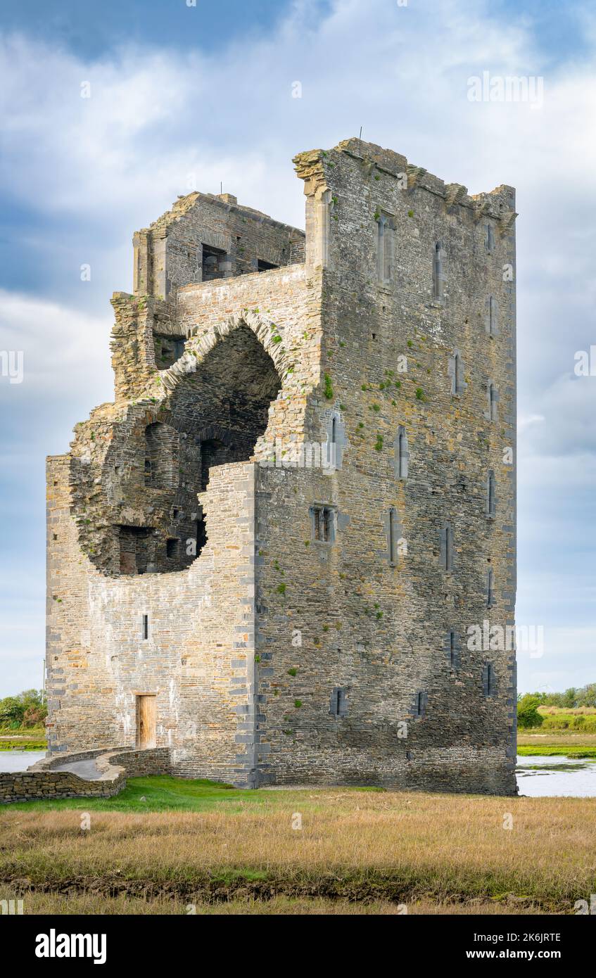 Man-made underground passage in KnockagarraneMan-made underground passage · 717 yd
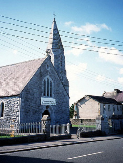 Catholic Church of the Sacred Heartchurch/chapel · 1589 yd
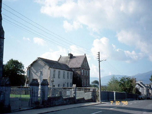 The Monasteryconvent/nunnery · 1607 yd
 CastleCastle, tower house · 1.0 mi
 Clash IslandIslet · 1.8 mi
 Cloon IslandIsland · 2.2 mi
 Site of Castle MaineCastle, Anglo-Norman masonry castle · 2.6 mi
 The Kerry Creamery ExperienceHeritage attraction · 2.8 mi
 King Puck statueMemorial · 2.9 mi
 LisnagraveArchaeological place · 3.9 mi
 Japanese pagoda treeJapanese pagoda tree · 6.5 mi