What is recorded here
Murphy's Fort in Knockaunbrack is a broken circular rath, thirty-one metres across, where a field wall now cuts through what may have been a home or refuge. The northern scarp still rises above the grassland at the base of Checker Hill, but the southern edge has vanished entirely. A fort half-swallowed by farming suggests people lived there long enough to be remembered, then left the land to take them back.
At the base of Checker Hill in gently rolling grassland. Known locally as 'Murphy's Fort' (Neary 1914, 120, no. 11), this originally circular rath (D c. 31m) is now cut by a field wall at E and W. To N of the wall, a scarp overlain by a field wall forms the enclosing element; no visible surface trace survives to S of it.
The above description is derived from the published 'Archaeological Inventory of County Galway Vol. II - North Galway'. Compiled by Olive Alcock, Kathy de hÓra and Paul Gosling (Dublin: Stationery Office, 1999).
Date of upload: 05 August 2010
The monument record does not grant public access. Check the route and ask the landowner before entering private land.
- What survives
- Recorded monument
Places near here
 Catholic Church of Christ the Kingchurch/chapel · 567 yd
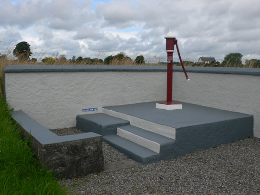 water pumpwater pump · 664 yd
 Enclosure in KiltivnaEnclosure · 975 yd
 LisowenmacloughlinArchaeological place · 1024 yd
 Castle in ruinsCastle, unclassified · 1.4 mi
 Slieve DartMountain / peak · 1.8 mi
 Dunmore CastleCastle · 3.9 mi
 Site of Killomaine Grave YardArchaeological place · 9.2 mi
 European ashEuropean ash · 12 mi
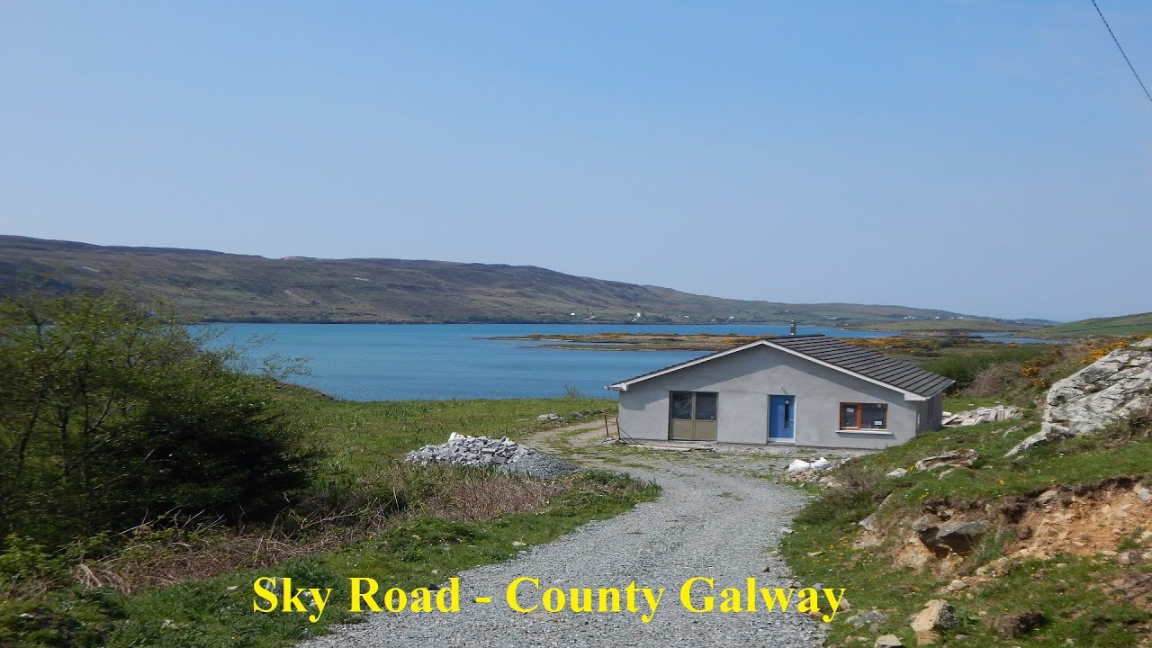 LissabrollaunFairy fort / earthen ringfort · 1041 yd
 Ballaghdorragha RathFairy fort / earthen ringfort · 1466 yd
 ShrineAltar · 1581 yd