What is recorded here
Knockaunakill holds a fourty-metre earthen ring on a rise above a stream, marked by a shallow scarp, wide fosse and faint outer bank. It is not a grand fortress but a shaped patch of ground, likely touched by people who watched weather, water and movement across open country. The fairies may have taken it later, yet the measurement and preservation suggest human hands more often.
Located in pasture, straddling the top of a rise with good views. Ground falls to NE in a short step and then levels out towards the banks of a stream, which is c. 70m from the rath. On the opposite side of the stream a flat expanse of wet, boggy ground stretches N and E.
Circular platform (40.6m N–S; 39m E–W) defined by a scarp (H 1.3m at N; 0.6m at S), outside which it is enclosed by a fosse (Wth 2.8m at N, 2.9m at S) and remnants of an external bank (Wth c. 2m; int. H 0.1m; ext. H 1.5m at NE). The rath is boxed into the SW end of a rectilinear field with the NNE−SSW field walls clipping the W and E−SE sides of the rath.
The scarp is best preserved on the E half of the rath but is rather low and degraded on the W half. The fosse is clearly defined N–E but is evident elsewhere as a slight surface depression, partly truncated at SE by a field fence. The external bank survives N–E as a low and degraded rise; it is truncated at E–SE by later field fences, and is evident SW−NW as an ephemeral undulation, incorporating large stones in parts at SW; at NNW–N it is truncated by a straight NE–SW field fence. A causeway (Wth 4m) across the fosse at SSW allows tractor access to the interior and may be a late feature.
The N half of the interior is level but there is a slope down from centre to SE–S. A slight surface depression (diam. c. 2m) is evident in the N of the interior, close to the scarp.
Compiled by: Jane O’Shaughnessy
Date of upload: 9 February 2022
The monument record does not grant public access. Check the route and ask the landowner before entering private land.
- What survives
- Recorded monument
Places near here
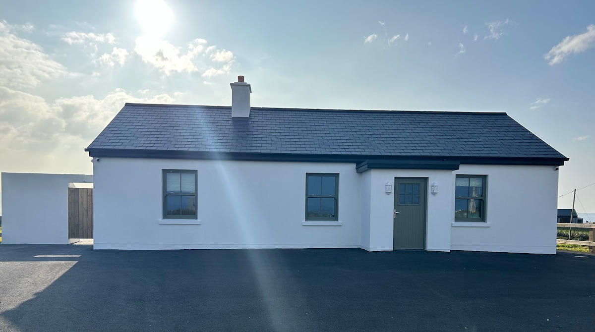 Bawn in KnockaunakillBawn · 443 yd
 IndicatedEnclosure · 1126 yd
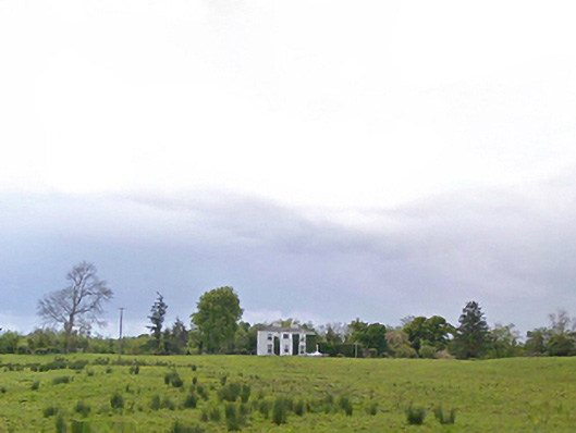 Cloonboy Housefarm house · 1135 yd
 Enclosure in BreesEnclosure · 1734 yd
 CastleCastle, Anglo-Norman masonry castle · 1.0 mi
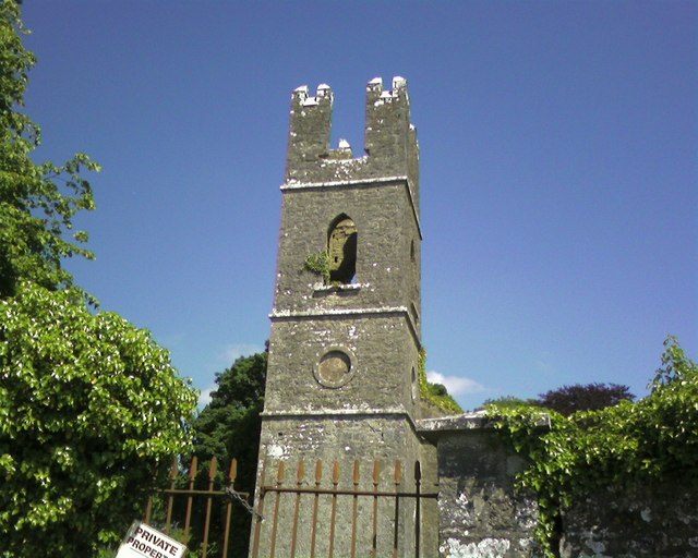 Mayo Church (Mayo)church/chapel · 1.7 mi
 Land of the GiantsHeritage attraction · 4.3 mi
 Geoffrey's WoodForest · 6.1 mi
 Oak WoodForest · 6.5 mi
 Cow IslandIslet · 9.0 mi
 Crane IslandIslet · 9.1 mi
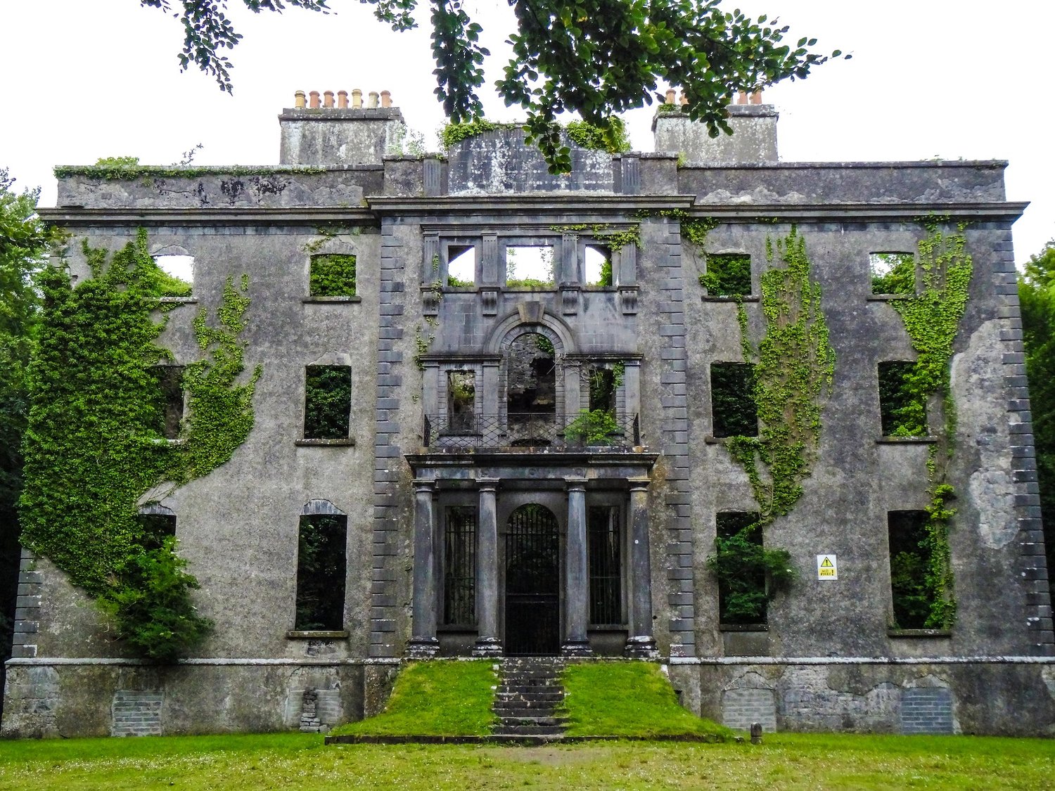 Enclosure in An Goirtín MórEnclosure · 1.5 mi