What is recorded here
Knockatudor holds a broad earthen ring where a deep ditch still cuts the ground, marking a boundary drawn before written memory. The bank rises thirty metres across, large enough for several houses or a crowded gathering, yet no name has survived to claim the space. Modern trenches have bitten through parts of the ditch, reminding that the field remains alive to human want. What was lost is not nothing; the circle still excludes, still separates, still asks that someone remember the shape of the place.
Raised circular area (int. dims. 30m NE-SW; 32.6m NW-SE) enclosed by a substantial earthen bank and a wide, deep fosse best preserved from S-W-NNW and infilled or replaced by modern trenches elsewhere. Original entrance may have been at S.
The above description is derived from the published 'Archaeological Inventory of County Cavan' (Dublin: Stationery Office, 1995). In certain instances the entries have been revised and updated in the light of recent research.
Date of upload/revision: 22 December 2008
The monument record does not grant public access. Check the route and ask the landowner before entering private land.
- What survives
- Recorded monument
Places near here
 IndicatedFairy fort / earthen ringfort · 525 yd
 Giant's GraveArchaeological place · 1039 yd
 Enclosure in KilnagarbetEnclosure · 1249 yd
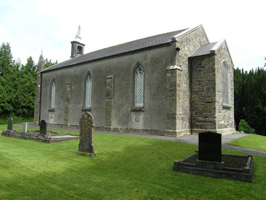 St Mark's Church of Ireland Churchchurch/chapel · 1.0 mi
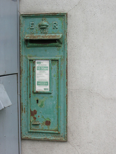 post boxpost box · 1.0 mi
 Foundation Stone Blessed by Pope John Paul II 1979Memorial · 1.0 mi
 Cormeen Glebe ForestForest · 1.4 mi
 Killymeehan ForestForest · 1.8 mi
 CarrickallenMountain / peak · 2.9 mi
 CliffernaMountain / peak · 3.4 mi
 Site of Old CastleCastle, unclassified · 3.9 mi
 Bawn in DrumsheilBawn · 4.5 mi