What is recorded here
Knockasarnet holds a thirty-five-metre earthen ring on a north-facing slope, where builders raised the interior soil to defeat the hillslope and created a flat stage for human life. A broad semicircular ledge projects from the northern bank like a bench or workshop, inviting imagination about meals, crafts or gatherings beneath an open sky. The eastern entrance and northern gap still mark the flow of people through the pasture, while overgrowth softens the edges of a place that has watched seasons turn for centuries.
In pasture, on a N-facing slope. A circular area (diam. 35m) defined by an earthen bank (Wth 3m; int. H 0.3m; ext. H 1.5m) which is covered with overgrowth in places. The flat interior has been raised in the N sector to compensate for the hillslope. There is a possible entrance at E and there is a gap at NNE. A ledge (Wth 6m), which is semicircular in plan and abuts the bank along the N arc externally, is built up (H 2m) above the external ground level. The ledge has a slight dip but is otherwise relatively flat. An E-W field boundary is immediately N of the ledge. On the 1894 OS 6-inch map the rath is shown as open at E. This is probably the rath recorded in the 1840s in the centre of Knockasarnet (OSNB, Aghadoe, no. 1, 37). A possible fulacht fia (KE058-137----) is c. 85m to the NW.
Compiled by: Elizabeth Byrne, Ursula Egan and Sheila Ronan, Archaeological Survey Unit, University College, Cork.
Date of upload: 31 January 2011
The monument record does not grant public access. Check the route and ask the landowner before entering private land.
- What survives
- Recorded monument
Places near here
 Fulacht FianFulacht fia · 703 yd
 Fulachta FianBurnt spread · 758 yd
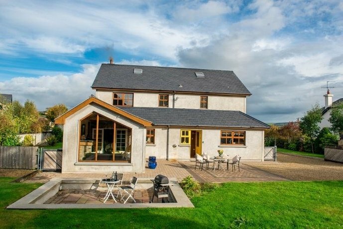 Coolgarriv HouseCountry house · 1287 yd
 Water millWater mill, horizontal-wheeled · 1376 yd
 Aghadoe Early Medieval Ecclesiastical SiteHeritage attraction · 1.1 mi
 Parkavonear CastleCastle · 1.1 mi
 Famine MemorialMemorial · 1.6 mi
 Circular WalkWalking route · 1.9 mi
 GinkgoGinkgo · 1.9 mi
 Kerry 2nd Brigade of the Irish Republican ArmyMemorial · 2.0 mi
 Giant SequoiaGiant Sequoia · 2.0 mi
 Jaunting ToursHeritage attraction · 2.3 mi