What is recorded here
Knockardnacorlan holds a broad earthen ring on a sunny Limerick slope, marked by a shallow outer ditch and a entrance gap facing south-east. Thorn and briar still climb the western bank, while thistles crowd the level pasture inside. The shape suggests people once drew a boundary around their lives, excluded rain and marked their own against the open field.
In pasture, on ESE-facing slope immediately below brow of low ridge. Circular area (34.8m N-S; 33.7m E-W) enclosed by earthen bank (int. H 1.5m; ext. H 1.8m), with external fosse (D 0.2m; Wth 1.3m) ESE->SSW, WSW->NNW and NE->E, and an external bank (H 0.3m) ESE->SSW. Internal bank best preserver SW->E but becomes low and scarp-like E->SE(int. H 0.3m; ext. H 0.55m). Slight dip in banks (Wth 4.1m) at SSE probable entrance. Bank covered by thorn and briars on W and N sides. Level interior covered in rough pasture and thistles.
Compiled by: Denis Power
Date of upload: 26 August 2011
The monument record does not grant public access. Check the route and ask the landowner before entering private land.
- What survives
- Recorded monument
Places near here
 Fulacht fia in InchagreenogeFulacht fia · 626 yd
 Burnt mound in RobertstownBurnt mound · 629 yd
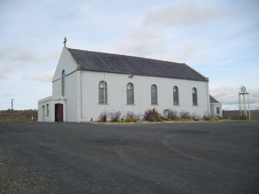 Saint Senan's Catholic Churchchurch/chapel · 1061 yd
 Robertstown Church (in ruins)Church · 1329 yd
 Robertstown Castle (in ruins)Castle, tower house · 1510 yd
 Dysert Castle (in ruins)Castle, tower house · 1.5 mi
 Foynes Flying Boat & Maritime MuseumMuseum · 2.2 mi
 Foynes Island ViewpointViewpoint · 2.4 mi
 Gammarel PointHeadland · 2.5 mi
 Foynes IslandIsland · 2.9 mi
 Battery PointHeadland · 3.1 mi
 Monterey CypressMonterey Cypress · 3.4 mi