What is recorded here
Knockardnacorlan holds a true ringfort, not a fairy tale, though local story still calls it a fairy fort. The earthen bank encloses a level circle wide enough for a household, with a broad gap on the east side and a long low ridge stretching outward like a boundary marker. Sheep and thistles occupy the interior now, but the shape remains clear beneath pasture and field boundaries.
In pasture, on gentle SE-facing slope, just below brow of low ridge. Circular area (35.2m N-S; 37.2m E-W) enclosed by earthen bank (int. H 1.4m; ext. H 1.65m), with external fosse (Wth 1.45m; D 0.2m) W->N. Dip in bank ENE->ESE (Wth 9.3m). Low earthen bank (H 0.4m; Wth 2.8m) extends out to E for c. 45m, from bank at SE. Level interior is covered by rough grazing and thistles. Field boundaries skirt enclosure at S and W meeting just SW of enclosure. Area between enclosure and corner of field is occupies by recently erected hay-barn.
Compiled by: Denis Power
Date of upload: 26 August 2011
The monument record does not grant public access. Check the route and ask the landowner before entering private land.
- What survives
- Recorded monument
Places near here
 Fulacht fia in InchagreenogeFulacht fia · 822 yd
 Burnt mound in RobertstownBurnt mound · 838 yd
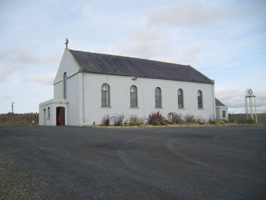 Saint Senan's Catholic Churchchurch/chapel · 1284 yd
 Robertstown Church (in ruins)Church · 1552 yd
 Robertstown Castle (in ruins)Castle, tower house · 1732 yd
 Dysert Castle (in ruins)Castle, tower house · 1.6 mi
 Foynes Flying Boat & Maritime MuseumMuseum · 2.3 mi
 Foynes Island ViewpointViewpoint · 2.5 mi
 Gammarel PointHeadland · 2.6 mi
 Foynes IslandIsland · 3.0 mi
 Battery PointHeadland · 3.2 mi
 Monterey CypressMonterey Cypress · 3.4 mi