What is recorded here
Knockardnacorlan holds a broken ring of earth and stone atop a limestone hill, its southern edge cut away by a field boundary and its eastern bank quarried into a shallow depression. The remaining curve rises slightly where cattle pasture covers exposed rock, while a long straight bank stretches northeast before fading downhill. People may have lived inside the circle before tools and time stripped it to a ridge, but the land still keeps the shape of that forgotten room.
In pasture, atop limestone hill. Circular area (32.4m N-S) has been truncated on S side by E-W field boundary (now 25.9m N-S). It is enclosed by earth-and-stone bank (int. H 0.47m; ext. H 0.35m) SSW->ESE and defined by straight dry-stone field boundary ESE->SSW. Bank is best preserved N->NE but lowers at W. It has been partially quarried out at E leaving shallow weed-covered depression (Wth 7.1m) extending into interior for 10.4m. Interior surface, under rough pasture, is uneven due to exposed limestone outcrops and slopes down to S. A linear earth-and-stone bank (H 0.45m) abuts bank at NNE and extends into field on NNE-SSW axis for 62m where it turns down-slope to W for 35m before fading out.
Compiled by: Denis Power
Date of upload: 26 August 2011
The monument record does not grant public access. Check the route and ask the landowner before entering private land.
- What survives
- Recorded monument
Places near here
 Enclosure in ParkmoreEnclosure · 593 yd
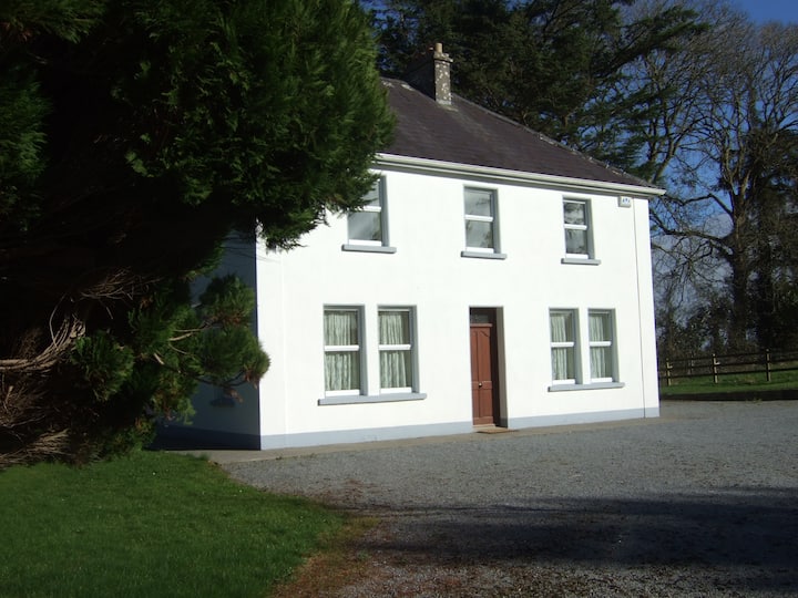 Enclosure in Shanagolden DemesneEnclosure · 1133 yd
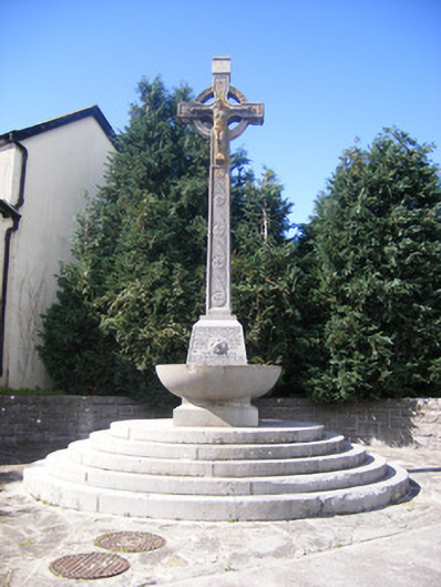 Spring Rice Monumentmonument · 1238 yd
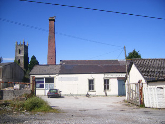 Shanagolden Creamerycreamery, chimney · 1263 yd
 Robertstown Castle (in ruins)Castle, tower house · 1.3 mi
 Site of CastleCastle, unclassified · 1.6 mi
 Foynes Flying Boat & Maritime MuseumMuseum · 2.5 mi
 Foynes Island ViewpointViewpoint · 2.7 mi
 Gammarel PointHeadland · 2.8 mi
 Foynes IslandIsland · 3.2 mi
 Battery PointHeadland · 3.4 mi
 Monterey CypressMonterey Cypress · 3.4 mi