What is recorded here
Knockansweeny holds a circular earthen fort thirty-eight metres across on a scrub-covered hilltop. Two banks and ditches enclose the highest point of the land, though breaks in the eastern and north-eastern stone suggest entry or decay. The fairies may have built it, but human hands shaped the soil before myth renamed the work.
On top of a hill, covered in scrub; locally known as sandhill. Circular area (38m N-S; 38m E-W) enclosed by two earthen banks (inner bank: int. H 0.5m; middle bank: ext. H 1.3m) with intervening fosse; second intervening fosse and third earthen bank (H 0.8m) survives S->W. Break in inner bank and middle bank to E; second break (Wth 2m) in middle bank to NE. Interior incorporates top of hill, with highest point at centre; covered in ferns.
The above description is derived from the published 'Archaeological Inventory of County Cork. Volume 4: North Cork' (Dublin: Stationery Office, 2000). In certain instances the entries have been revised and updated in the light of recent research.
Date of upload/revision: 14 January 2009
The monument record does not grant public access. Check the route and ask the landowner before entering private land.
- What survives
- Recorded monument
Places near here
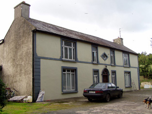 Aldworth Househouse · 769 yd
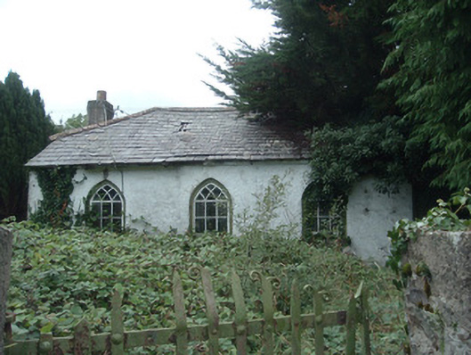 surgery/clinicsurgery/clinic · 826 yd
 IndicatedEnclosure · 986 yd
 Fulacht fia in SmithfieldFulacht fia · 1398 yd
 Dromaneen CastleHeritage attraction · 1.6 mi
 In loving memory of Elvis O'DonoghueMemorial · 3.5 mi
 Mallow Castle RuinRuins · 4.1 mi
 Gurteenkreen Castle (Site of)Castle, unclassified · 4.1 mi
 Mount HillaryMountain / peak · 4.9 mi
 Mount Hillary - Knightfield LoopWalking route · 5.5 mi
 Mount Hillary - Mount Hillary LoopWalking route · 5.6 mi
 Graveyard in Ballygiblin (duhallow By.)Graveyard · 5.8 mi