What is recorded here
Knockansweeny holds a forty-eight metre earthen ring on a gentle north-facing slope, its double banks and central ditch still drawing a clear circle through the pasture. People called it a fairy fort, perhaps because the gaps in the western and eastern walls admit more imagination than reason. Field stones now choke the ditch, yet the grassy interior remains untouched, waiting for someone to walk the broken line and ask what it kept.
In pasture, on gentle N-facing slope. Circular area (48m N-S; 48m E-W) enclosed by two earthen banks with intervening fosse (D 0.9m). Inner bank (int. H 1.6m; ext. H 0.9m) broken to W (Wth 11m) and ENE (Wth 4m). Outer bank (H 0.7m) incorporated into field fence system to E; broken to SSE (Wth 4m) and W (Wth 5m). Field clearance material dumped in intervening fosse to N, S and W. Interior grass-covered; slopes gently down to N.
The above description is derived from the published 'Archaeological Inventory of County Cork. Volume 4: North Cork' (Dublin: Stationery Office, 2000). In certain instances the entries have been revised and updated in the light of recent research.
Date of upload/revision: 14 January 2009
The monument record does not grant public access. Check the route and ask the landowner before entering private land.
- What survives
- Recorded monument
Places near here
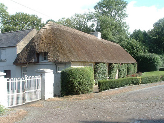 Keal Cottagehouse · 780 yd
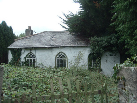 surgery/clinicsurgery/clinic · 906 yd
 IndicatedEnclosure · 1238 yd
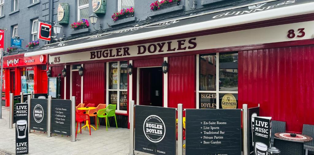 Fulacht fia in SmithfieldFulacht fia · 1397 yd
 Dromaneen CastleHeritage attraction · 1.3 mi
 In loving memory of Elvis O'DonoghueMemorial · 3.3 mi
 Mallow Castle RuinRuins · 4.0 mi
 Gurteenkreen Castle (Site of)Castle, unclassified · 4.0 mi
 Mount HillaryMountain / peak · 4.9 mi
 Mount Hillary - Knightfield LoopWalking route · 5.4 mi
 Mount Hillary - Mount Hillary LoopWalking route · 5.5 mi
 Graveyard in Ballygiblin (duhallow By.)Graveyard · 5.5 mi