What is recorded here
Knockanaddoge holds a massive earthen ringfort on a steep terrace above the Deen river valley, where merged banks and cut terraces suggest a military ringwork rather than a ordinary farmstead. Dunne cut a trench through the site in 1850, recovering human bones, a rounded stone and a knife handle, while Carrigan later wondered if forgotten O’Brenan documents pointed to Rathomin or Toimin’s Rath. Trees now choke the ramp and causeway, but the view still runs clean along the valley, preserving the chance that this was a chief’s strong place, not a fairy tale invented to hide its shape.
On the E side of the Deen river valley, on the W edge of a terrace where there is a steep drop to a ravine, between the very steep lower valley sides and rolling uplands to the E, in a forest plantation. There are good views to N and S along the valley and W across valley.
Though not indicated on the 1st (1839) ed. OS 6-inch map or the 1947 revision, a description, plan and profile of this monument was published in 1850-51 (Dunne 1850-51, 246 and opposite 247). Dunne suggested, ‘from the magnitude and strength of its defences, that it was the castellum or dwelling of some chief of the O’Broenains. Its position is very strong. The approach is particularly well calculated for defence; consisting of an inclined plane, which winds round the steepest part of the bank, and is besides commanded throughout its entire course by a platform situated between the inner and outer ramparts’ (ibid. 246). As part of Dunne’s investigation he cut a deep trench, running N-S, across the monument, finding, ‘some human and animal bones, a stone artificially rounded, probably used to bruise corn, and a portion of the bone handle of a knife or dagger (ibid. opposite page 247). Carrigan (1905, vol. 2, 163) mentions that the old name of this ‘great fort’ is forgotten but that it could be, ‘Rathomin, or Toimin’s Rath, so often mentioned in O’Brenan documents’.
The monument consists of a central circular platform (max. diam. c. 37m) defined by a low, wide earthen bank (Wth 4m; int. H 0.8m; ext. H c. 3.5m), a fosse (Wth 4m; D 1.5m), a berm (Wth 4m), bank (Wth 2m; int. H 1m; ext. H 1.5m), fosse (Wth 4m) and outer bank (Wth 2m; int. H 1m; ext. H 0.8-1m), except in the W sector where the banks and fosses merge into a series of terraces cut along the hill side. Dunne’s plan depicts a ramp entrance and causeway at S (ibid.). The monument is heavily overgrown by trees. The morphology and strategic location of this monument suggest that it may a ringwork.
Compiled by: Jean Farrelly
Date of upload: 14 November 2018
A fairy fort or earthen ringfort in Knockanaddoge is a circular earthwork enclosure typical of early-medieval Ireland, likely dating to between the 5th and 10th centuries. It is associated with local folklore regarding fairy activity, as suggested by its name, and may have originally served as a seasonal dwelling or ritual site.
The monument record does not grant public access. Check the route and ask the landowner before entering private land.
- What survives
- Recorded monument
Places near here
 Rockafoil WoodWood · 105 yd
 IndicatedEnclosure · 329 yd
 Ballyhimmin Housemill (water) · 556 yd
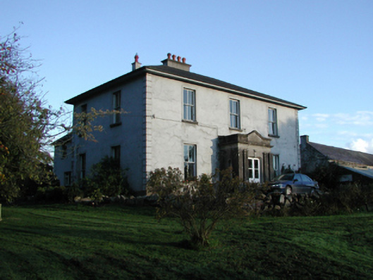 Smithstown Housefarm house · 765 yd
 Enclosure in Ballyhimmin (knocktopher By.)Enclosure · 1009 yd
 European BeechEuropean Beech · 1145 yd
 1798Memorial · 1.3 mi
 Creamery HouseMemorial · 1.3 mi
 The GarrisonCastle, motte · 1.3 mi
 Footprints In CoalMuseum · 1.4 mi
 Castlecomer Discovery ParkHeritage attraction · 1.4 mi
 Ardra LoopWalking route · 1.9 mi