What is recorded here
Knockanacuig holds a true ringfort, not a fairy tale. Earth and stone still mark the boundary where people lived, worked and likely loved long before modern roads arrived. The fairies belong only to the name, while the soil remembers human hands, human hunger and human choice.
The Archaeological Survey of Ireland (ASI) is in the process of providing information on all monuments on The Historic Environment Viewer (HEV). Currently the information for this record has not been uploaded. To access available information for research purposes please make an appointment in advance with the Archive Unit (open Fridays 10.00 am – 5.00 pm), Department of Housing, Local Government and Heritage, The Custom House, Dublin 1 D01W6XO or email NMarchive@housing.gov.ie.
The monument record does not grant public access. Check the route and ask the landowner before entering private land.
- What survives
- Recorded monument
Places near here
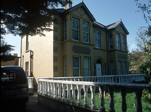 Ballyrickard Househouse · 628 yd
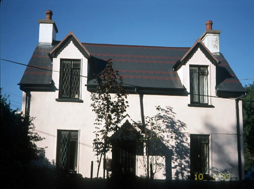 Katy's Cottagehouse · 648 yd
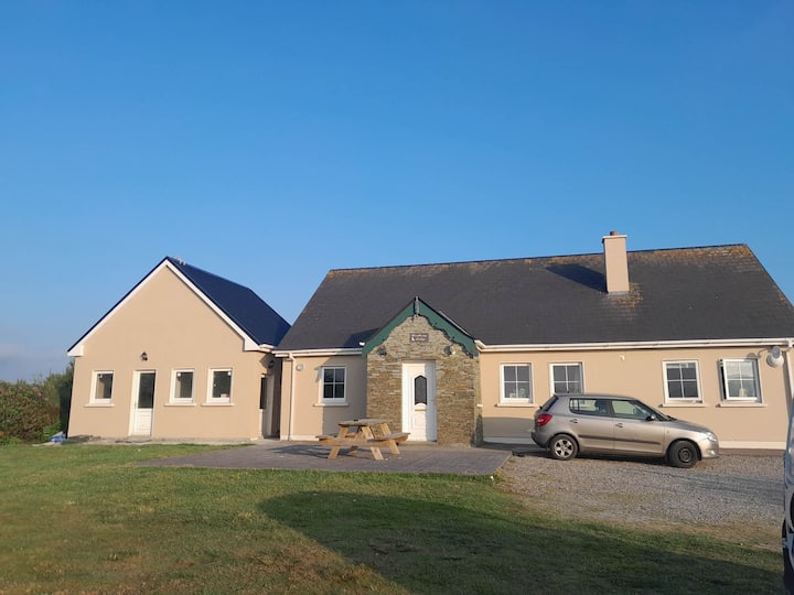 Hut site in CarrigeendanielHut site · 771 yd
 Charles Kerins MonumentMonument · 1283 yd
 Castle MacallistrumCastle, unclassified · 1446 yd
 Tralee Bay Wetlands Eco and Activity ParkNature reserve · 1524 yd
 Sonny McCarthy MemorialMonument · 1.0 mi
 Blennerville WindmillHeritage attraction · 1.0 mi
 Pádraig Mac PiaraisMemorial · 1.0 mi
 View of WindmillHeritage attraction · 1.0 mi
 CastleCastle, unclassified · 1.1 mi
 Knockmichael MountainMountain / peak · 2.9 mi