What is recorded here
Knockacullig South holds a broken ring where cattle still breathe through gaps in the earth. Its bank has become a field boundary, yet the inside remains level on a tilted hill, shaping life rather than resisting it. The forgotten passage at one side suggests the fort was never only a wall; it may have been a threshold, an entrance, a room beneath the ordinary.
In pasture, at the upper edge of a SSE-facing slope. Remains of a circular area (dims. c. 26m NW-SE; c. 22m NE-SW) defined by a bank which is incorporated into a field boundary ESE->S->W->NW. Bank (Wth 4.35m; int. H 0.3m; ext. H 1.5m) has intermittent cattle breaches ESE->S->SW and is best preserved (Wth 4.5m; int. H 0.9m; ext. H 1.3m) SW->NW; bank is levelled NW->N->ESE. Interior is generally level and is raised slightly at SSE to compensate for hillslope. Man-made underground passage (KE059-034001-) is located off-centre to SSE. Barely traceable remains of very low, inner scarp (Wth 1.0m; H 0.2m) and a possible intervening fosse (basal Wth 0.5m; total Wth 2.6m; Dth 0.2m) were recorded SSE->SSW. Monument is depicted as a curvilinear field boundary on historic mapping.
Compiled by: Alison McQueen and Vera Rahilly
Date of upload: 14 November 2014
The monument record does not grant public access. Check the route and ask the landowner before entering private land.
- What survives
- Recorded monument
Places near here
 Burnt spread in Knockacullig SouthBurnt spread · 421 yd
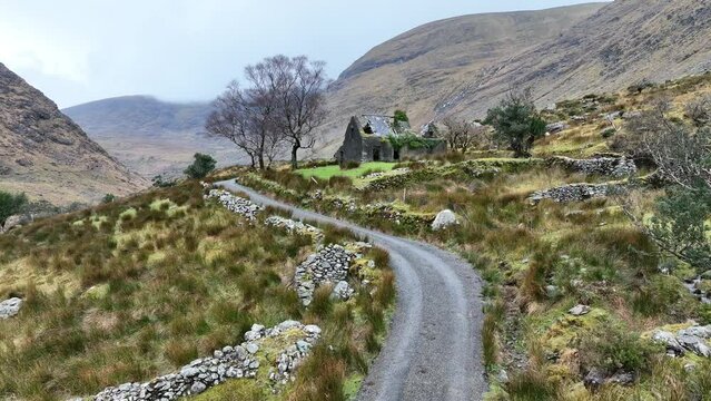 Man-made underground passage in CleedaghMan-made underground passage · 1074 yd
 St. Cummins R.C. ChapelChurch · 1606 yd
 Church in Glebe (magunihy By., Kilcummin Ed)Church · 1638 yd
 Mass RockNamed rock · 3.5 mi
 Famine MemorialMemorial · 3.6 mi
 GinkgoGinkgo · 3.7 mi
 Kerry 2nd Brigade of the Irish Republican ArmyMemorial · 3.8 mi
 Jaunting ToursHeritage attraction · 4.0 mi
 Giant SequoiaGiant Sequoia · 4.1 mi
 Flesk CastleCastle · 4.2 mi
 Aghadoe Early Medieval Ecclesiastical SiteHeritage attraction · 4.2 mi