What is recorded here
Knockacarracoosh holds a thirty-five metre earthen ring atop a Cork hill, marked by cultivation ridges and gaps in the bank rather than a single polished gate. Conifers choke the fosse and ridge, turning the fort into a green maze where human boundaries have blurred into something older and less reasonable. The fairies may have taken the shape, but the ridges prove people once lived inside the circle, bending the earth to their needs before forgetting the name.
In pasture, atop hill. Circular area (35m E-W; 34m N-S) enclosed by earthen bank (int. H 0.9m; ext. H 2m); external fosse (D 1.4m). Entrance (Wth 2m) to SE; gap in bank to WNW (Wth 2.8m) and N (Wth 1m). Fosse survives best S->NW; shallow elsewhere. Bank and fosse planted with coniferous trees. Remains of cultivation ridges cross interior on N-S axis.
The above description is derived from the published 'Archaeological Inventory of County Cork. Volume 4: North Cork' (Dublin: Stationery Office, 2000). In certain instances the entries have been revised and updated in the light of recent research.
Date of upload/revision: 14 January 2009
The monument record does not grant public access. Check the route and ask the landowner before entering private land.
- What survives
- Recorded monument
Places near here
 Burial GdBurial ground · 865 yd
 Man-made underground passage in CleanrathMan-made underground passage · 1111 yd
 Mine in CleanrathMine · 1468 yd
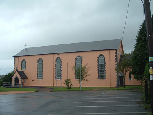 Church of the Presentation of Our Ladychurch/chapel · 1.4 mi
 Drominagh Castle (Site of)Castle, unclassified · 2.1 mi
 Dromsicane Castle (in Ruins)Bawn · 2.9 mi
 Rathcool WoodWood · 4.4 mi
 Millstreet Tourist InformationVisitor information · 4.6 mi
 Millstreet Museum & Tourist Information CentreMuseum · 4.6 mi
 Claragh Loop (Trailhead 99)Visitor information · 4.6 mi
 Battle of Knocknaclashybattle · 4.8 mi
 RowanRowan · 5.5 mi