What is recorded here
Fairy fort in Knockacareigh, County Cork: a roughly circular earthen ring about 33.5m across, with a 2m bank, outer ditch and secondary bank on parts of its edge. It sits on a SE-facing slope in pasture, its interior crossed by old cultivation ridges and its western half choked with growth. Cattle have cut gaps through the bank and field clearance has been dumped into the western ditch, so the fort now reads as both made and unmade: a human shape half-erased, half-invented, still holding its line on the hill.
In pasture, on SE-facing slope. Roughly circular area (33.5m N-S) defined by earthen bank (H 2m); external fosse (D 0.65m) to W and S; outer bank (H 1m) to SW and S. Numerous cattle gaps across bank. Field clearance material dumped in fosse to W. Interior appears to be raised on S side to compensate for hillslope; crossed by remains of cultivation ridges on NW-SE axis; W half heavily overgrown.
The above description is derived from the published 'Archaeological Inventory of County Cork. Volume 3: Mid Cork' (Dublin: Stationery Office, 1997). In certain instances the entries have been revised and updated in the light of recent research.
Date of upload/revision: 14 January 2009
The monument record does not grant public access. Check the route and ask the landowner before entering private land.
- What survives
- Recorded monument
Places near here
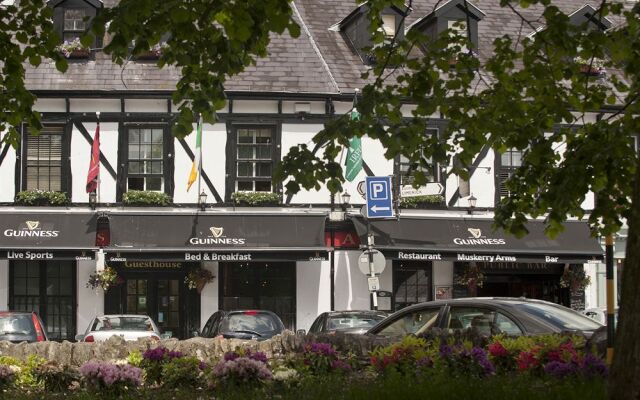 Fulacht FianFulacht fia · 478 yd
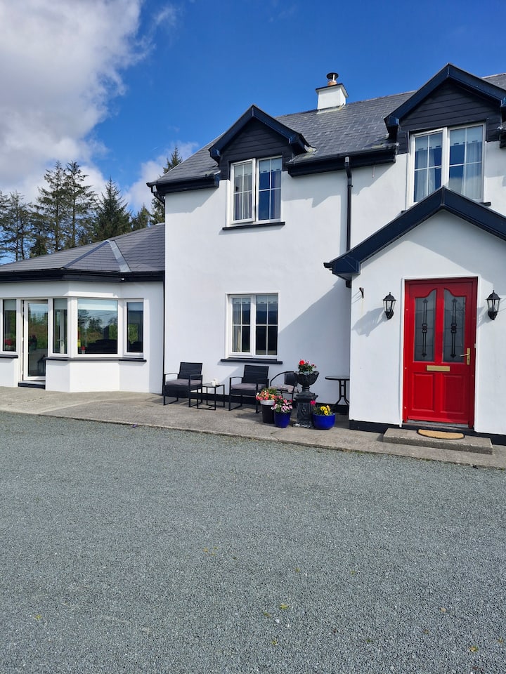 Fulacht fia in Kilbarry (muskerry West By., Ballinadee Par.)Fulacht fia · 831 yd
 Clearagh Househouse · 995 yd
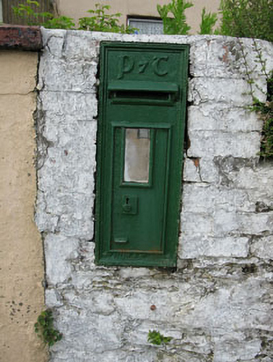 post boxpost box · 1.1 mi
 Summerhouse WoodForest · 1.1 mi
 Kilmurry WoodsPicnic place · 1.2 mi
 Priest MemorialMemorial · 1.3 mi
 Independence MuseumMuseum · 1.5 mi
 Stephen's WoodForest · 1.7 mi
 Castle (Site of)Castle, unclassified · 2.2 mi
 Green HillMountain / peak · 2.2 mi
 Michael Collins MemorialMemorial · 2.6 mi