What is recorded here
Kinmona South held a thirty-metre earthen ring with a cave inside, marked on the 1838 map before field clearance erased it. The loss transforms the fort into a living memory: a circle large enough to house people, tools and secrets, now absent from the land but still shaping imagination.
In level pastureland. Marked on the 1838 edition of the OS 6-inch map as a circular enclosure (diam. c. 30m) with a ‘Cave’ in the interior. McCaffrey (1952, 283) classified the monument as an ‘Earthen fort (?)’ and noted that it ‘contained a Man-made underground passage’; however nothing remained of the fort. Due to field clearance, no visible surface trace survives.
Compiled by: Galway Archaeological Survey, UCG
Date of upload: 9 January 2018
A fairy fort / earthen ringfort in Kinmona South, likely dating to the early medieval period, is marked on the 1838 OS 6-inch map as a circular enclosure with an interior 'Cave,' suggesting possible ritual or symbolic significance. Local tradition associates such sites with fairy folklore, reflecting their perceived otherworldly or supernatural character in Irish tradition.
The monument record does not grant public access. Check the route and ask the landowner before entering private land.
- What survives
- Recorded monument
Places near here
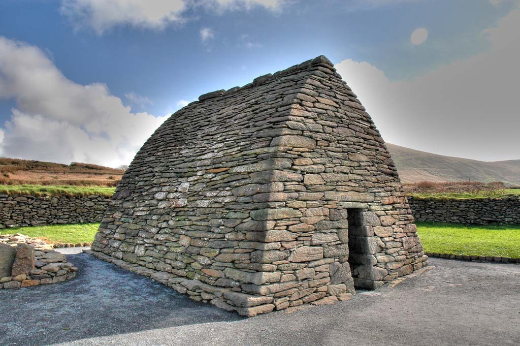 Enclosure in TulliraEnclosure · 484 yd
 IndicatedFairy fort / ringfort · 513 yd
 Rahaly Castle (in ruins)Castle, tower house · 1017 yd
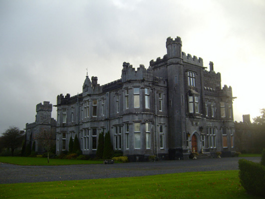 Tullira Castlecountry house · 1334 yd
 Church (in ruins)Church · 1743 yd
 HawthornHawthorn · 1.6 mi
 European ashEuropean ash · 1.6 mi
 Ballylee CastleCastle, tower house · 1.8 mi
 Drumharsna CastleHeritage attraction · 3.1 mi
 Kilmacduagh Monastic SiteVisitor information · 7.3 mi
 Mulroney's IslandIslet · 7.4 mi
 IllananireyIslet · 8.2 mi