What is recorded here
Fairy fort / earthen ringfort in Kiltycooly is a fairy fort or earthen ringfort in Kiltycooly, County Sligo, Ireland. It occupies the summit of a rise in gently undulating pasture. A steep earthen scarp defines a raised circular area, while a partly silted fosse follows the external foot where the natural ground does not slope downward. A narrow ramp through the scarp at the northeast may mark the original entrance.
Straddling summit of a rise in gently undulating pasture. Natural ground level slopes down from the site S-NNE. Raised circular area (diam. 51m) defined by a steep earthen scarp (ext. H 1.7-3.3m). At the external foot of the scarp is a fosse (Wth 7.8m; D 1.4m). The external height of the scarp increases from S-N to compensate for the underlying natural slope. The fosse encloses the site NE-SSE only and is absent elsewhere due to the natural downward slope around the site. The fosse is almost entirely silted up NE-E. A ramp (Wth 3m) through the scarp at NE may mark the position of the original entrance. Three small circular heaps of field clearance rocks (av. diam. 2m; H 0.6m) are located in the centre of the interior.
Compiled by: Patrick F. O'Donovan
Date of upload: 21 April 2011
The monument record does not grant public access. Check the route and ask the landowner before entering private land.
- What survives
- Recorded monument
Places near here
 Wynnes FortFairy fort / earthen ringfort · 885 yd
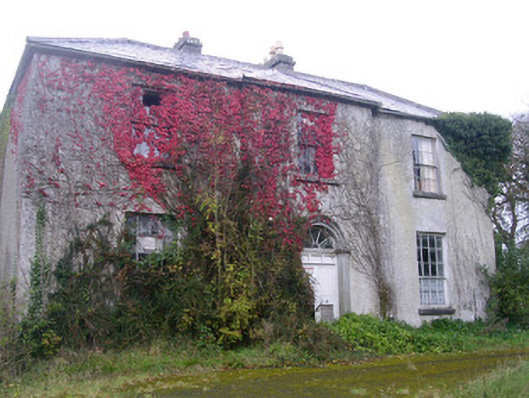 Doonally Househouse · 927 yd
 Enclosure in Doonally (carbury By., Drumcliff East Ed)Enclosure · 961 yd
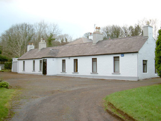 Fort Louishouse · 1.3 mi
 European BeechEuropean Beech · 1.7 mi
 Drumcliff CemeteryGraveyard · 2.4 mi
 Grave of WB YeatsHeritage attraction · 2.4 mi
 Copes MountainMountain / peak · 2.5 mi
 St. John's CathedralMemorial · 2.6 mi
 Kings MountainMountain / peak · 2.9 mi
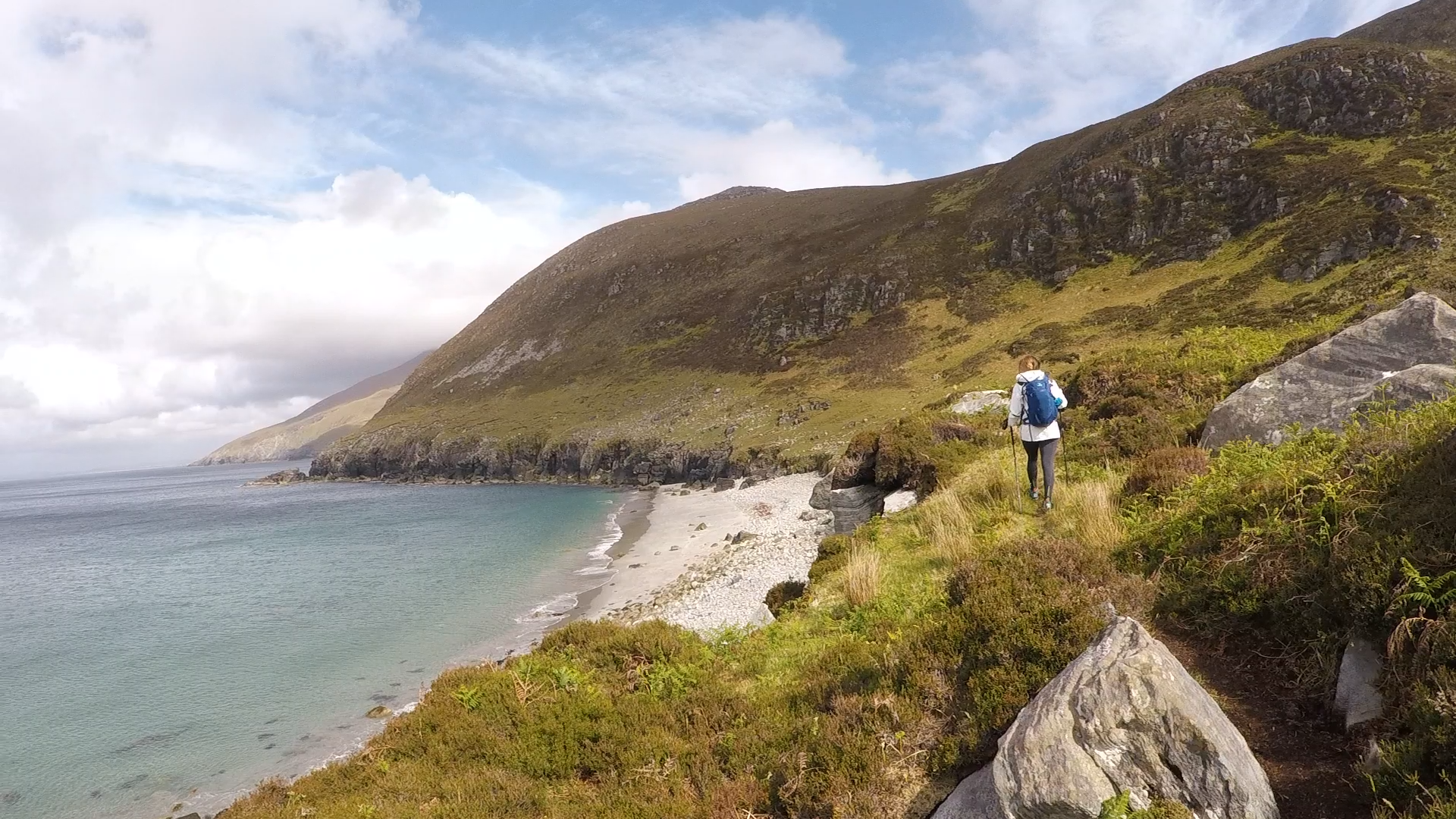 Annagh BayBay · 3.1 mi
 Annagh IslandIsland · 3.2 mi