What is recorded here
Mortons and others may have built the fort, yet local people still call it a fairy fort because the boundary between human and fantasy has never been sharp. The fort is a circular grass-covered area twenty-one and a half metres wide, marked by a low scarp and a wet silted fosse, while a later east-west field bank cuts across it. It sits in a broad basin among conifers, preserving a shape that measurement alone cannot explain.
Located in a broad basin in an undulating landscape. Circular, grass-covered area (diam. 21.5m), which remains unplanted in a coniferous forest, defined by a slight scarp (max. H 0.3m) and a silted fosse (Wth 3-6m) visible as a wet area. The monument is bisected by an E-W field bank, but the original entrance is not identified.
The above description is derived from 'The Archaeological Inventory of County Leitrim' compiled by Michael J. Moore (Dublin: Stationery Office, 2003). In certain instances the entries have been revised and updated in the light of recent research.
Date of upload: 23 September 2008
The monument record does not grant public access. Check the route and ask the landowner before entering private land.
- What survives
- Recorded monument
Places near here
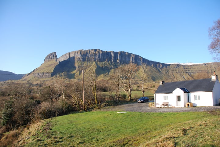 Mass-rock in SraduffyMass-rock · 862 yd
 Saint Patrick's Catholic Churchchurch/chapel · 1314 yd
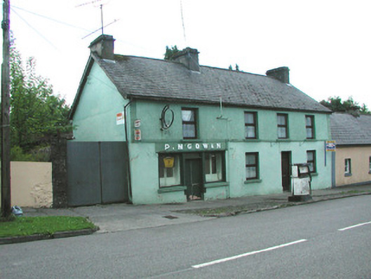 P. M'Gowanhouse · 1351 yd
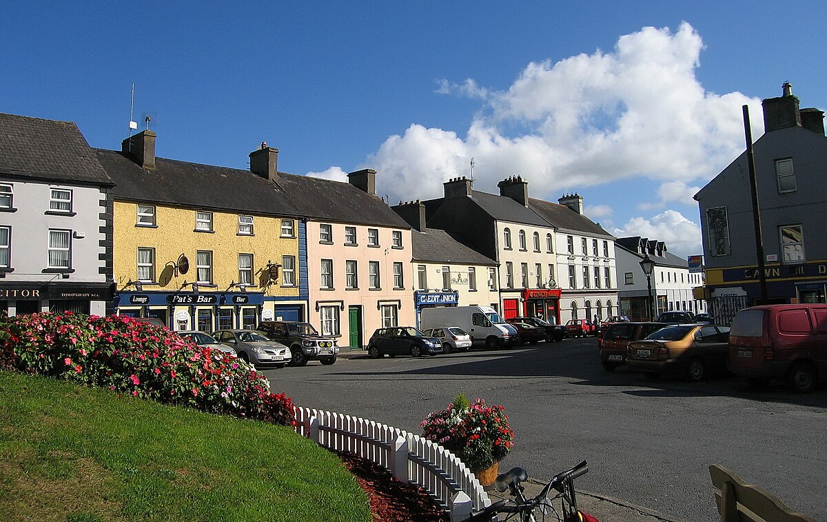 Not nidicatedMass-rock · 1602 yd
 Dough MountainMountain / peak · 2.3 mi
 Crannoge IslandIslet · 2.5 mi
 InishteigeIsland · 3.0 mi
 Saddle HillMountain / peak · 3.6 mi
 Lough MacNean WalkWalking route · 4.0 mi
 Port IslandCastle, Anglo-Norman masonry castle · 4.6 mi
 Fowley's FallsPicnic place · 4.7 mi
 Ross PointHeadland · 5.1 mi