What is recorded here
Kilteery holds a forgotten oval fortress where gorse still chokes the earthen bank and two shadowed depressions wait inside. The west half remains level while the east drops away, suggesting people once shaped the land before surrendering it back to vegetation. Fairy fort is the local name, but the measurements and surviving slabs point to human hands building a defensible home on an east-facing slope.
In undulating pasture, on E-facing slope. Oval area (34.5m N-S; 38m E-W) enclosed by earthen bank (int. H 0.85m; ext. H 1.5m), with external fosse NNW->NNE (Wth 1.2m; D 0.25m) and SE->SW (Wth 1.2m; D 0.2m). Much of enclosing element and interior are overgrown with gorse. West half of interior level but E half slopes down to E following incline in surrounding terrain. Inside the bank at E and SE are two depressions: depression to E (9.8m N-S; 4.4m E-W; D 0.5m) has some large slabs at E end; depression to SE roughly square in plan (L 12m) and covered by dense overgrowth.
Compiled by: Denis Power
Date of upload: 26 August 2011
The monument record does not grant public access. Check the route and ask the landowner before entering private land.
- What survives
- Recorded monument
Places near here
 Field boundary in Killacolla (shanid By.)Field boundary · 836 yd
 Fulacht fia in Killacolla (shanid By.)Fulacht fia · 858 yd
 Prospect HillMountain / peak · 973 yd
 Church in Flean MoreChurch · 1.0 mi
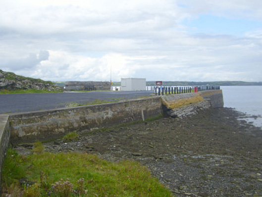 New Pierpier/jetty · 1.2 mi
 Castle (Site of)Castle, unclassified · 1.5 mi
 Loghill HoCastle, unclassified · 1.7 mi
 TobercloonaghSpring · 1.8 mi
 Mountshannon PointHeadland · 2.6 mi
 Mountshannon WoodWood · 2.7 mi
 Killanna PointHeadland · 3.0 mi
 Monterey CypressMonterey Cypress · 3.2 mi