What is recorded here
Kilpeacon holds a sixteenth-metre ring of earth, stones and gravel where a forgotten entrance has vanished beneath dense bushes. The fort predates human memory in local legend, yet its shape still resists the forest’s claim. What is forgotten is not lost; it is waiting for someone steady enough to remember the boundary between the seen world and the hidden one.
Ringfort described in 1942-3 as following; 'This consists of a circular platform on the edge of which there is a bank of earth, stones and gravel. Surrounding this there was a fosse. The entrance is not recognisable. The fort is densely overgrown with bushes. The overall diameter is 215' [65m]' (O'Kelly 1942-3, 244). Tree-covered monument visible today on Digital Globe aerial coverage.
Compiled by: Caimin O'Brien
Date of upload: 9 March 2020
The monument record does not grant public access. Check the route and ask the landowner before entering private land.
- What survives
- Recorded monument
Places near here
 Villiers WellSpring · 584 yd
 St. Patricks WellHoly well · 712 yd
 BarrowBarrow, ring-barrow · 749 yd
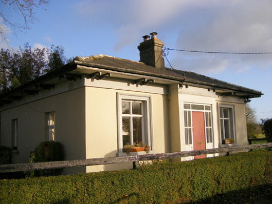 Kilpeacon Housegate lodge · 943 yd
 Saint Beacon's Church (Kilpeacon)church/chapel · 1015 yd
 (Site of) Garryellen CastleCastle, unclassified · 1620 yd
 Dotted outlineBawn · 1651 yd
 Carnane RockNamed rock · 1.8 mi
 Monasteranenagh AbbeyHeritage attraction · 4.0 mi
 Biodiversity in the Maigue CatchmentVisitor information · 5.0 mi
 European ashEuropean ash · 5.1 mi
 Dysert AenghusaHeritage attraction · 5.7 mi