What is recorded here
Kilpatrick, County Cork, Ireland, is where a hidden fort once stood. The land still remembers the shape, even if people forgot the name. What is buried there is not lost, only waiting for eyes sharp enough to see it.
In pasture, on a SE-facing slope, c. 350m from the Brinny River to the E and c. 450m from the Bandon River to the S. Indicated as a circular 'Danes Fort' on a 1775 map (no. 37) by B. Scalé (private collection). It is not visible at ground level but the curving field boundary to the E appears to respect the rath. Although currently the field boundary consists of a low earthen bank which falls c. 1.5m to a lane, it may have been altered when the lane was constructed. According to a former landowner, a 'fort' called 'lissie wither' was known at this location and was subsequently levelled. During ploughing at the location a horse's leg is reported to have gone into a 'little tunnel' which ran NE towards Rockfort, the neighbouring townland opposite the Brinny River. This may be a possible Man-made underground passage (CO096-108002-) associated with the rath.
The above description is derived from 'The Archaeological Inventory of County Cork. Volume 5' (Dublin: Stationery Office, 2009).
Date of upload: 22 December 2009
The monument record does not grant public access. Check the route and ask the landowner before entering private land.
- What survives
- Recorded monument
Places near here
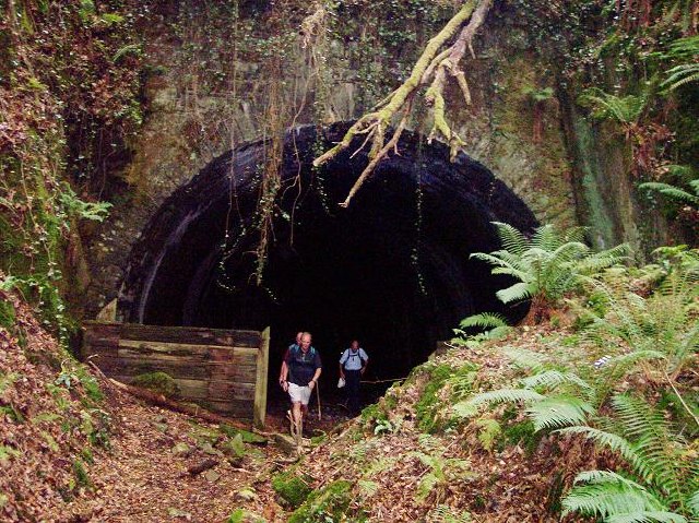 tunneltunnel · 529 yd
 Burial ground in Kilpatrick (kinalmeaky By.)Burial ground · 655 yd
 gate lodgegate lodge · 788 yd
 Downdaniel Castle (in Ruins)Castle, tower house · 1018 yd
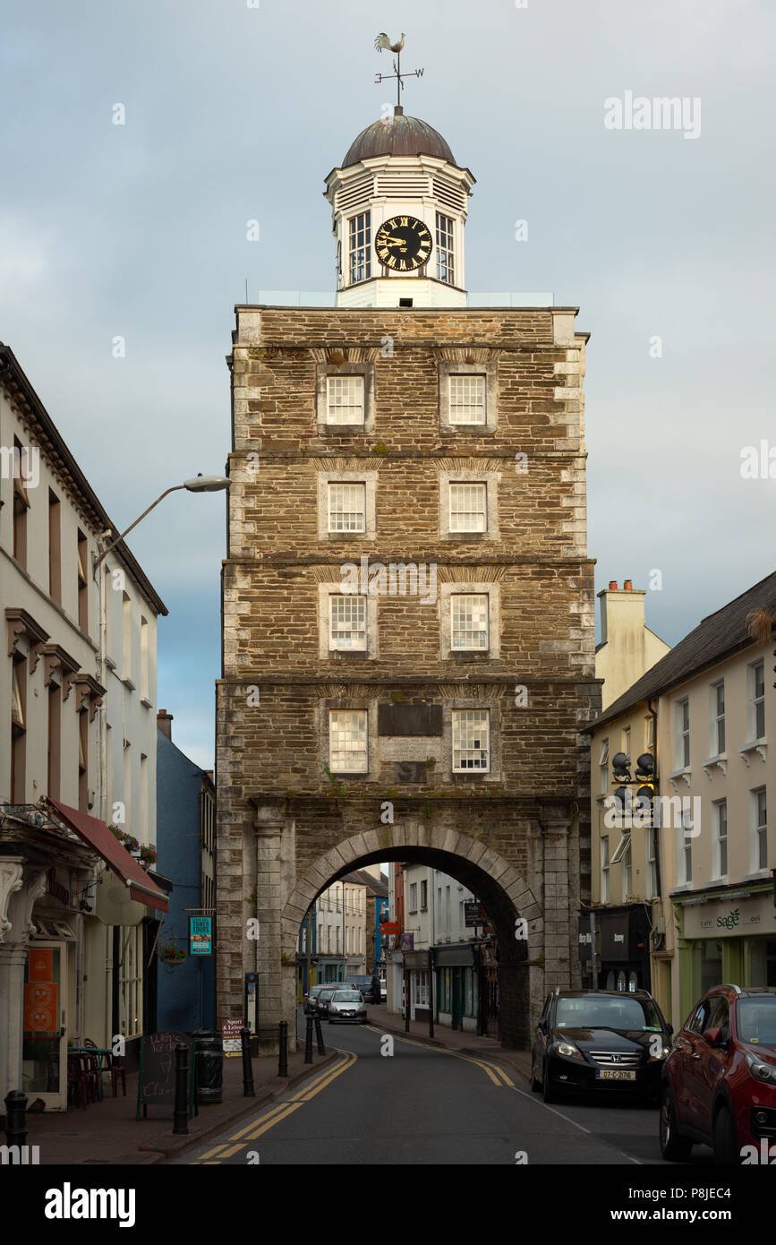 Tower (in Ruins)Designed landscape, belvedere · 1197 yd
 Roche's WoodWood · 1366 yd
 Monterey CypressMonterey Cypress · 1463 yd
 Innishannon WoodsPicnic place · 1.2 mi
 Sunday WellSpring · 2.0 mi
 Bandon War MemorialMemorial · 2.6 mi
 Carbury's WellSpring · 2.6 mi
 Cathal Hurley MemorialMemorial · 3.2 mi